


Specification
Features
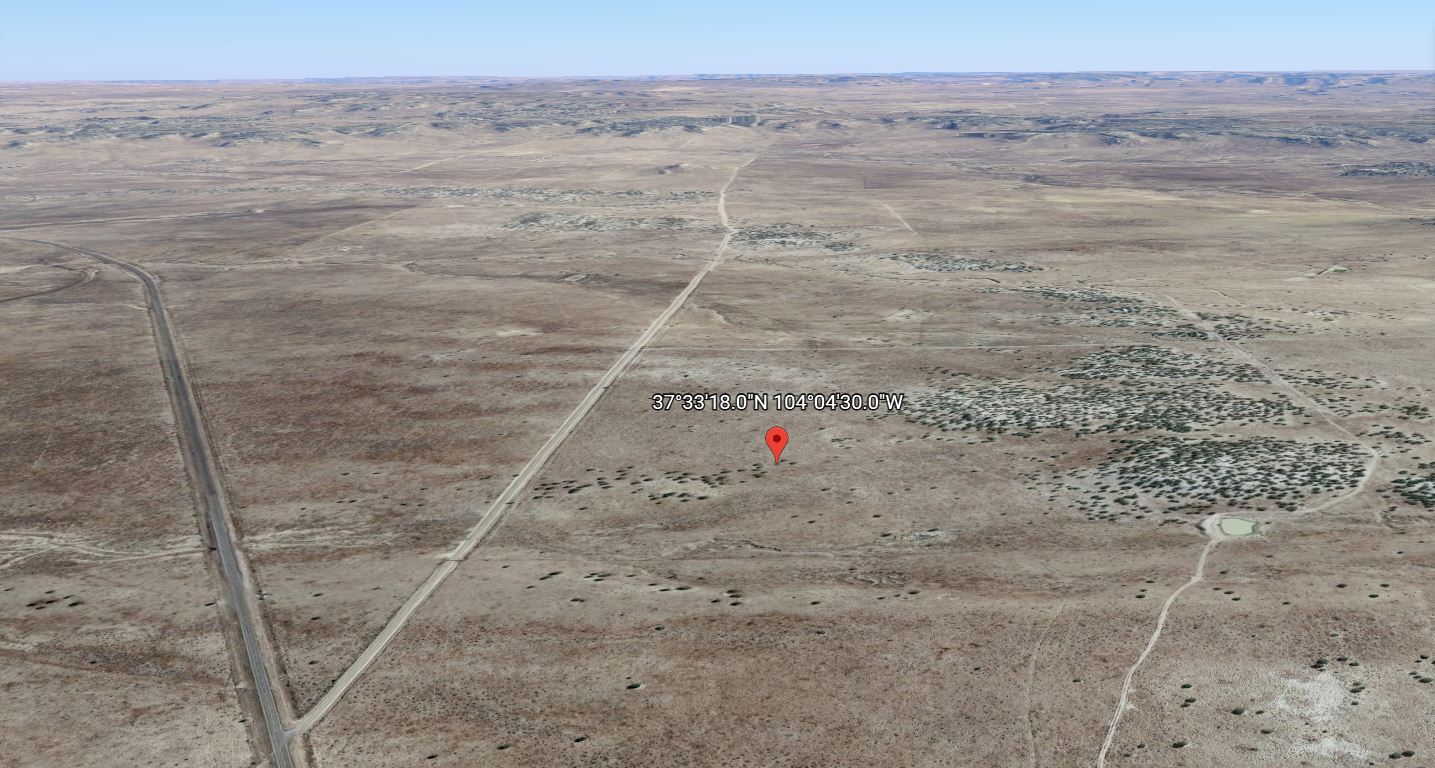
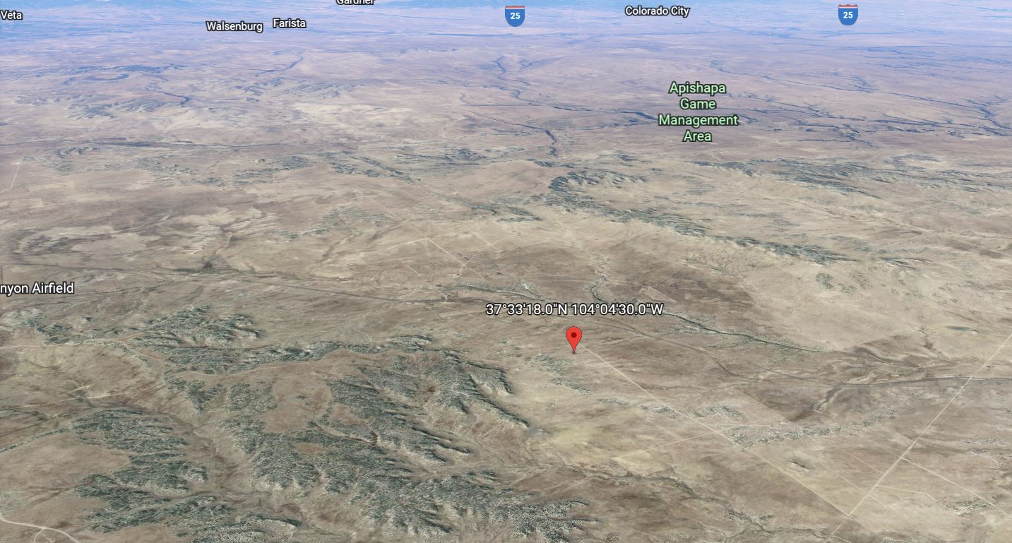
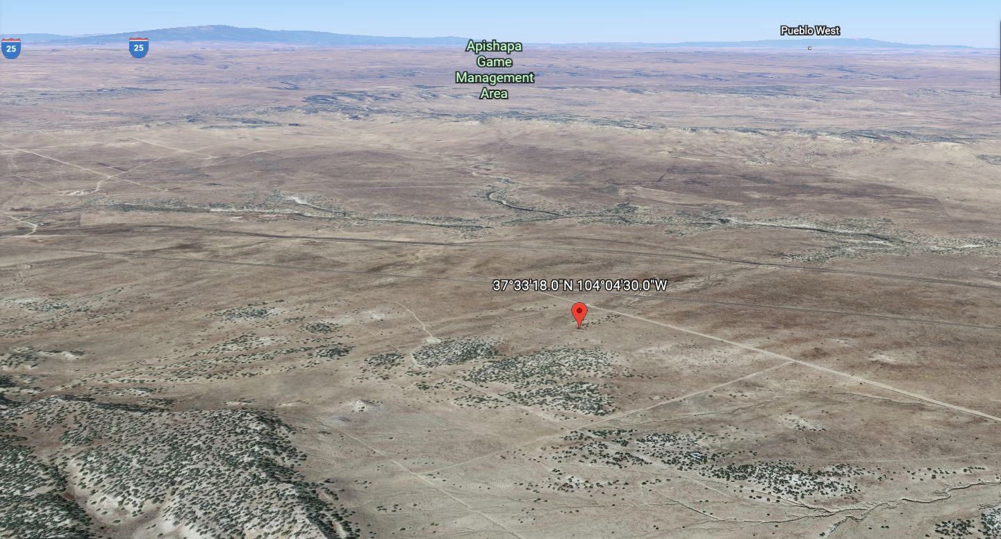
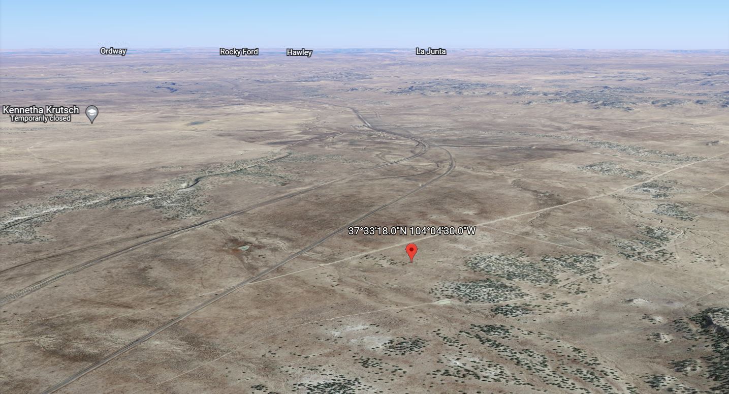
Location
Description
PAYMENT NOTE(S)
$5k down and $697/mo x 55 months
DESCRIPTION
How To Buy This Property:
Click the “Reserve Now” button above to pay the down payment and document preparation fee on this property.
During the “check out” procedure, you will be prompted to provide your name as you want it on the paperwork as well as your address, etc.
Within two business days you will receive a Purchase Agreement, Contract for Deed (Land Contract), and Promissory Note in your email via PandaDoc, an online document signing service. You can “sign” electronically on your computer or phone.
Any questions of what you can or cannot build, can or cannot do on the property should be directed to the county Planning and Zoning Department.
Everything I know about the property is listed here. The information provided is deemed reliable but not guaranteed. Please do your own due diligence. All property is sold as-is, where-is.
The down payment and document fee is non-refundable, so please be certain the property and terms will suit your needs BEFORE making your payment.
For more information, you can read our FAQ’s here.
My company, The Land Pioneer is family owned and operated. We are proud to have a 4.7/5 Star Rating, you can read our customer reviews here.
Property Description:
**Contact us for drone video for this property**
This property is located just outside of the renowned Apishapa Game Management Area. This area is known for world class hunting (Bighorn,Deer,Dove,Pronghorn,Rabbit,Scaled quail).
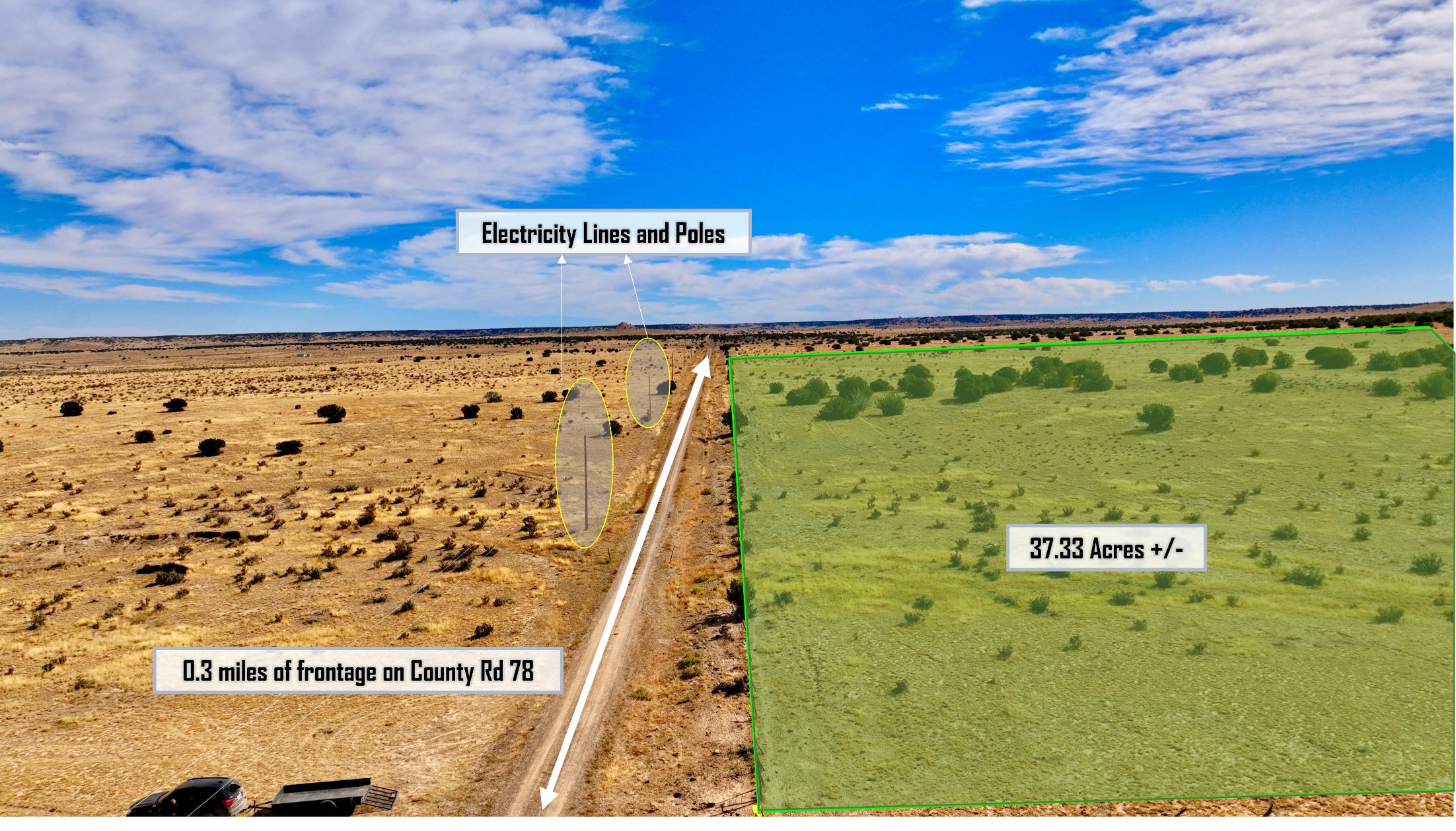
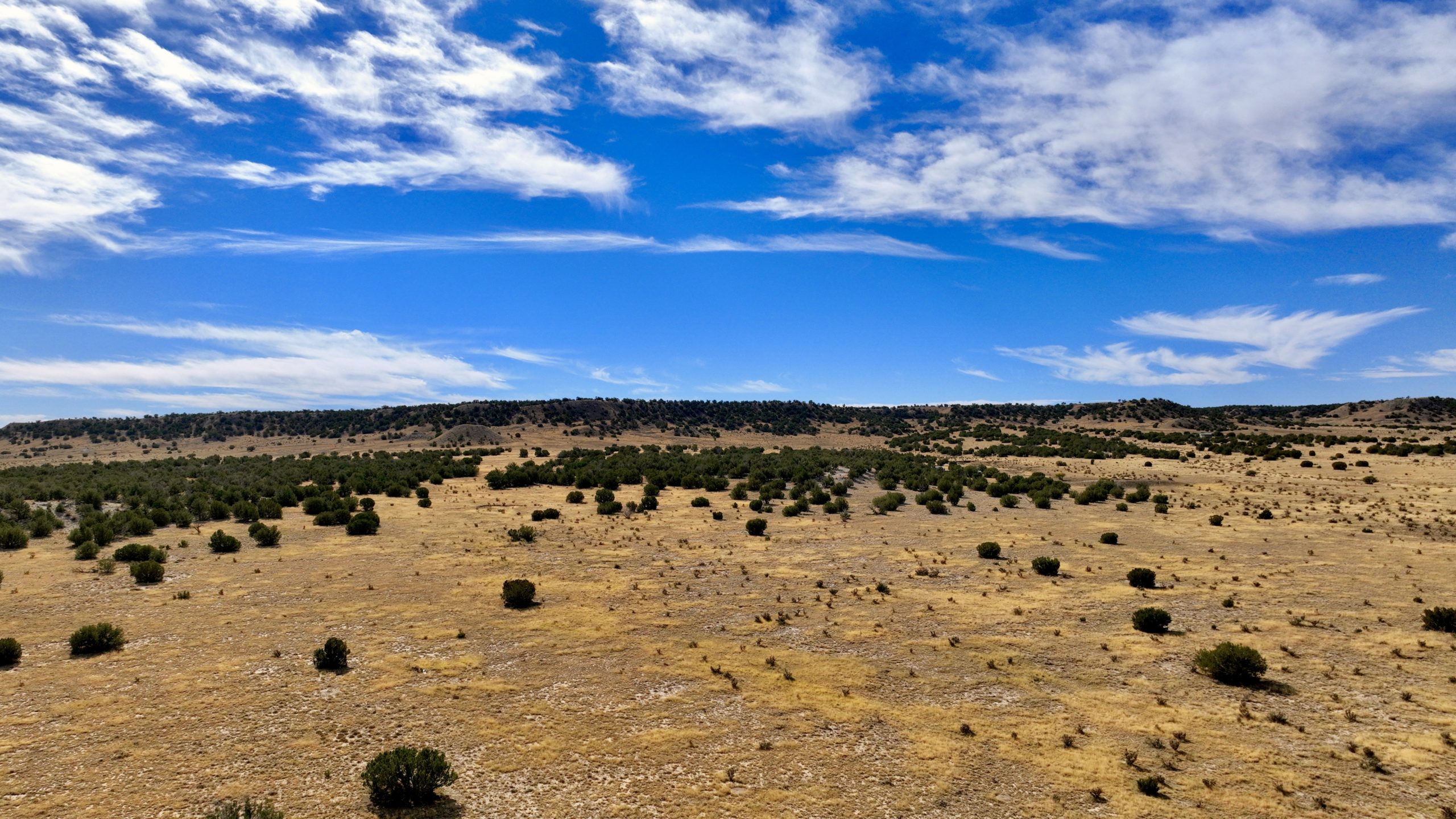
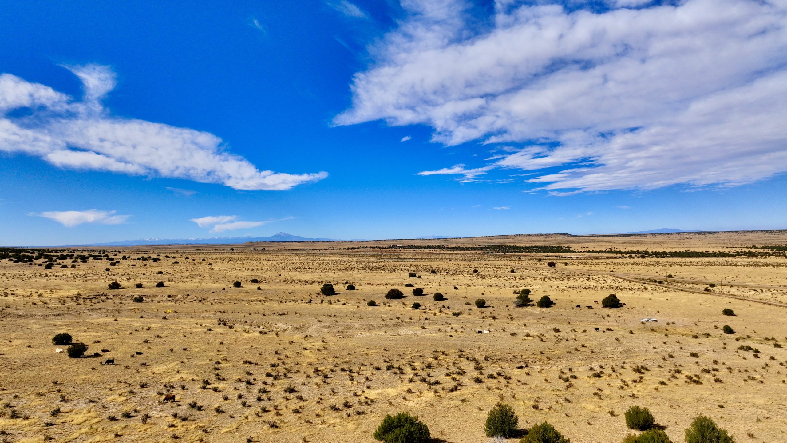
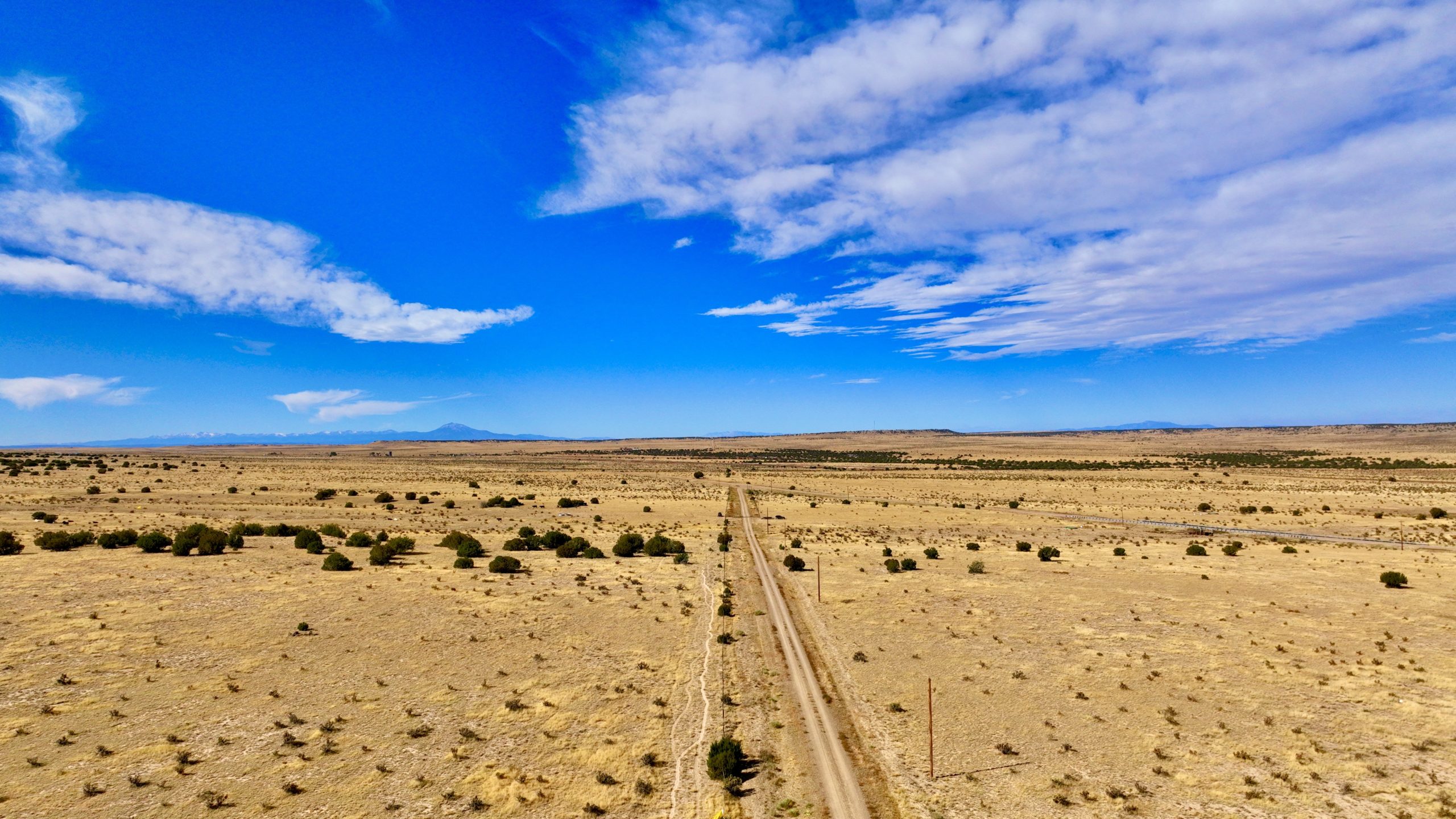
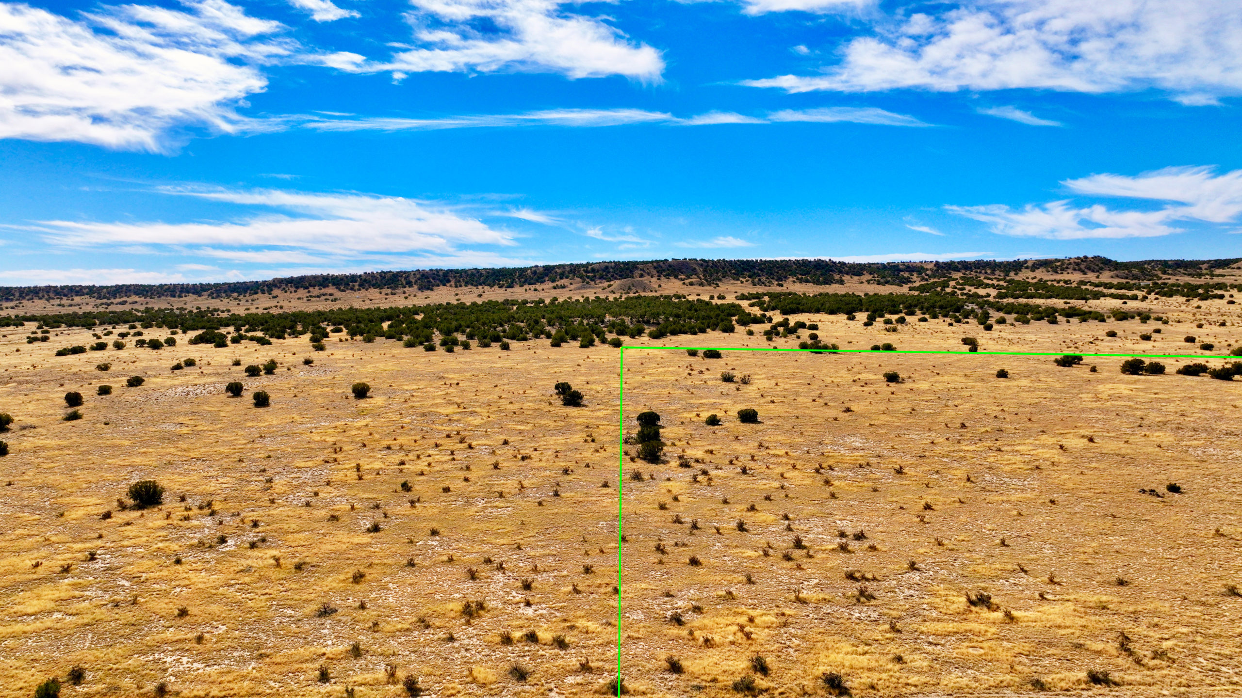
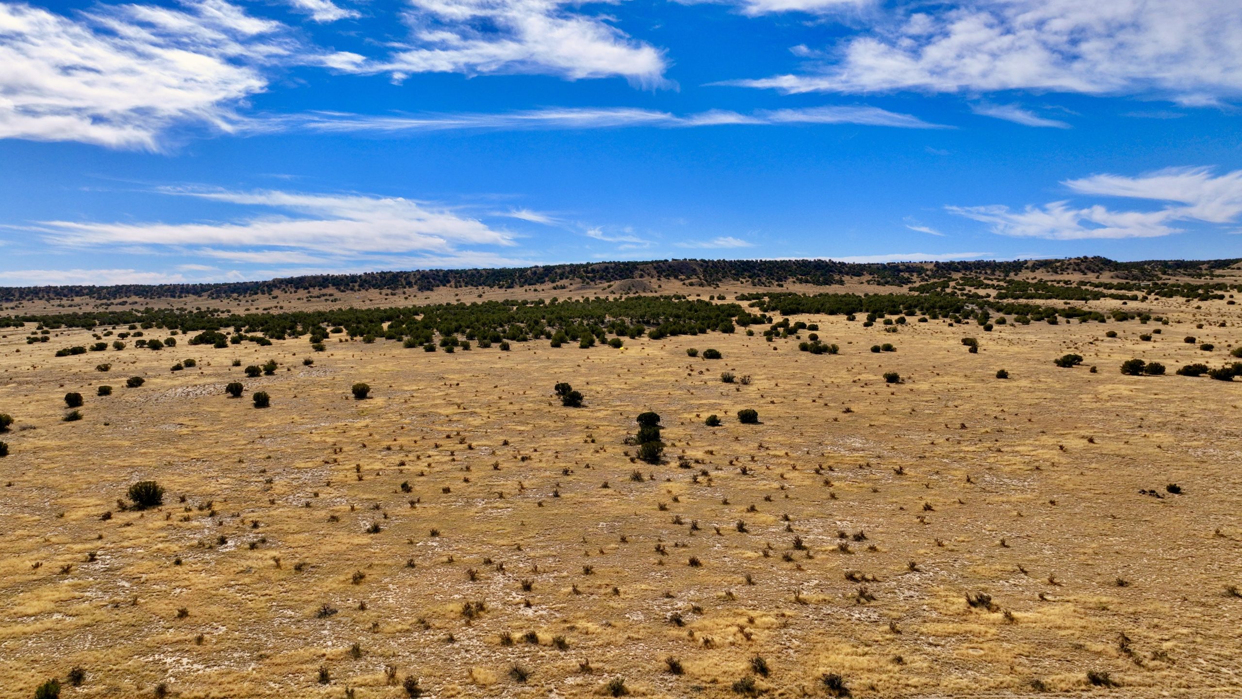
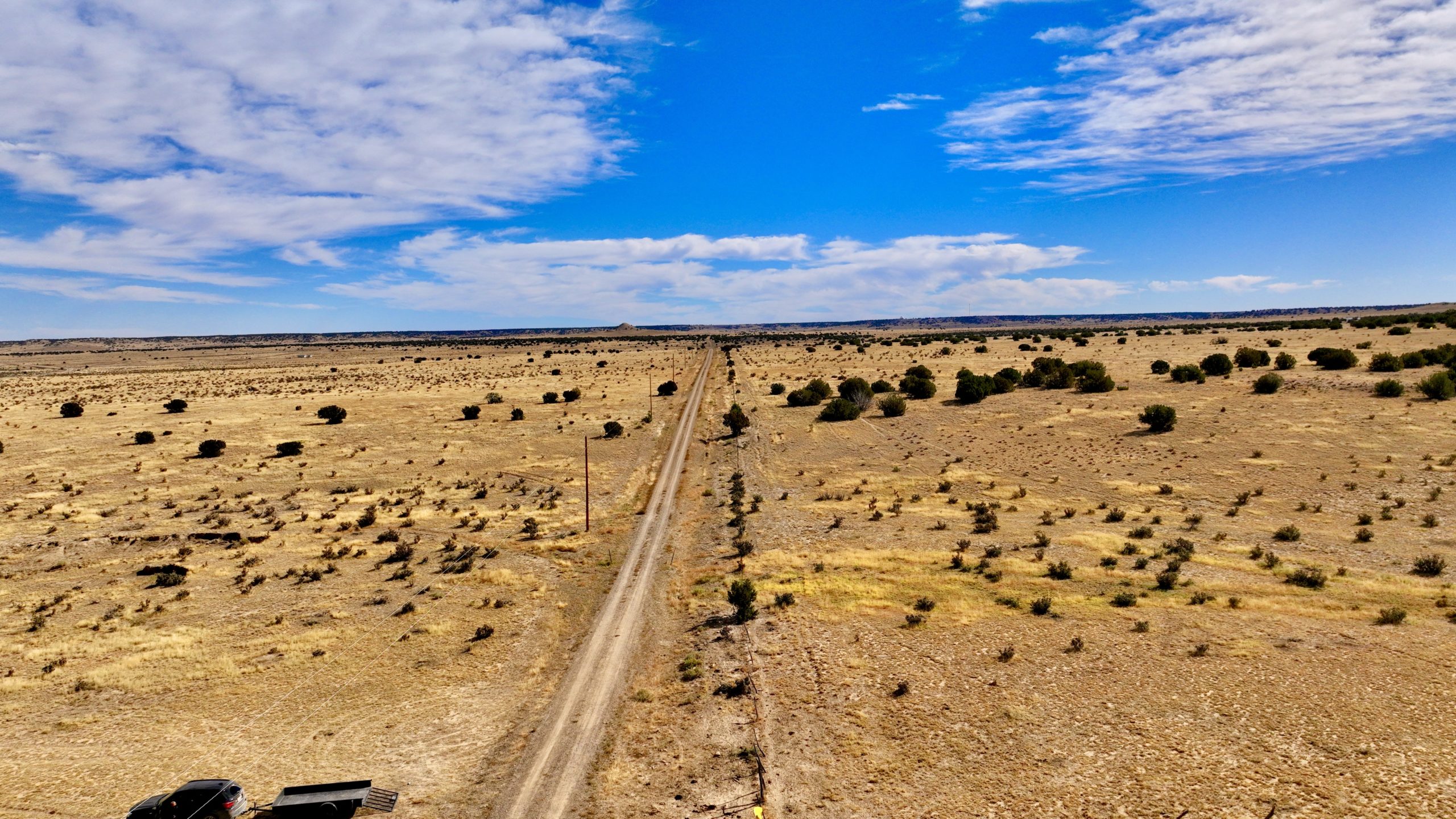
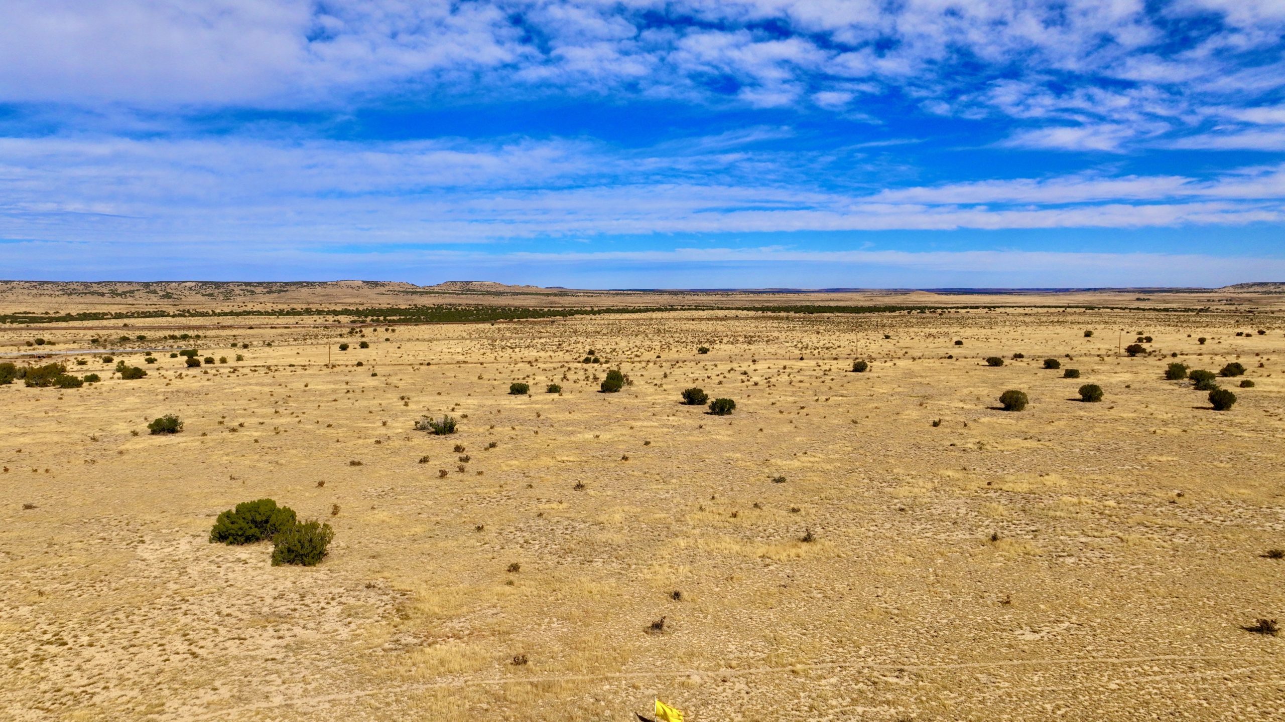
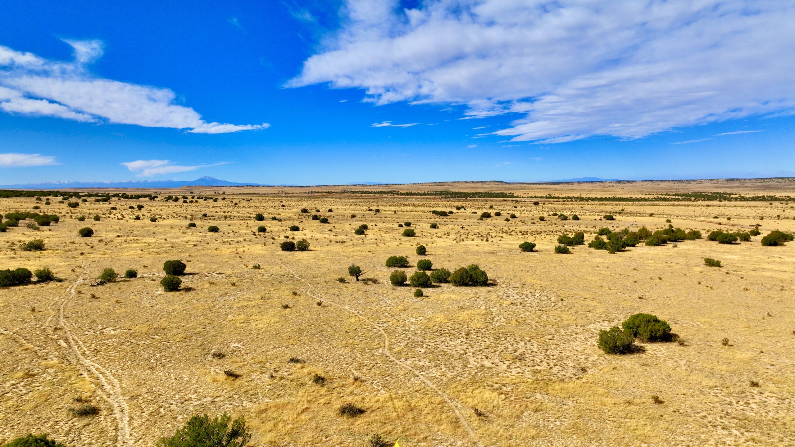
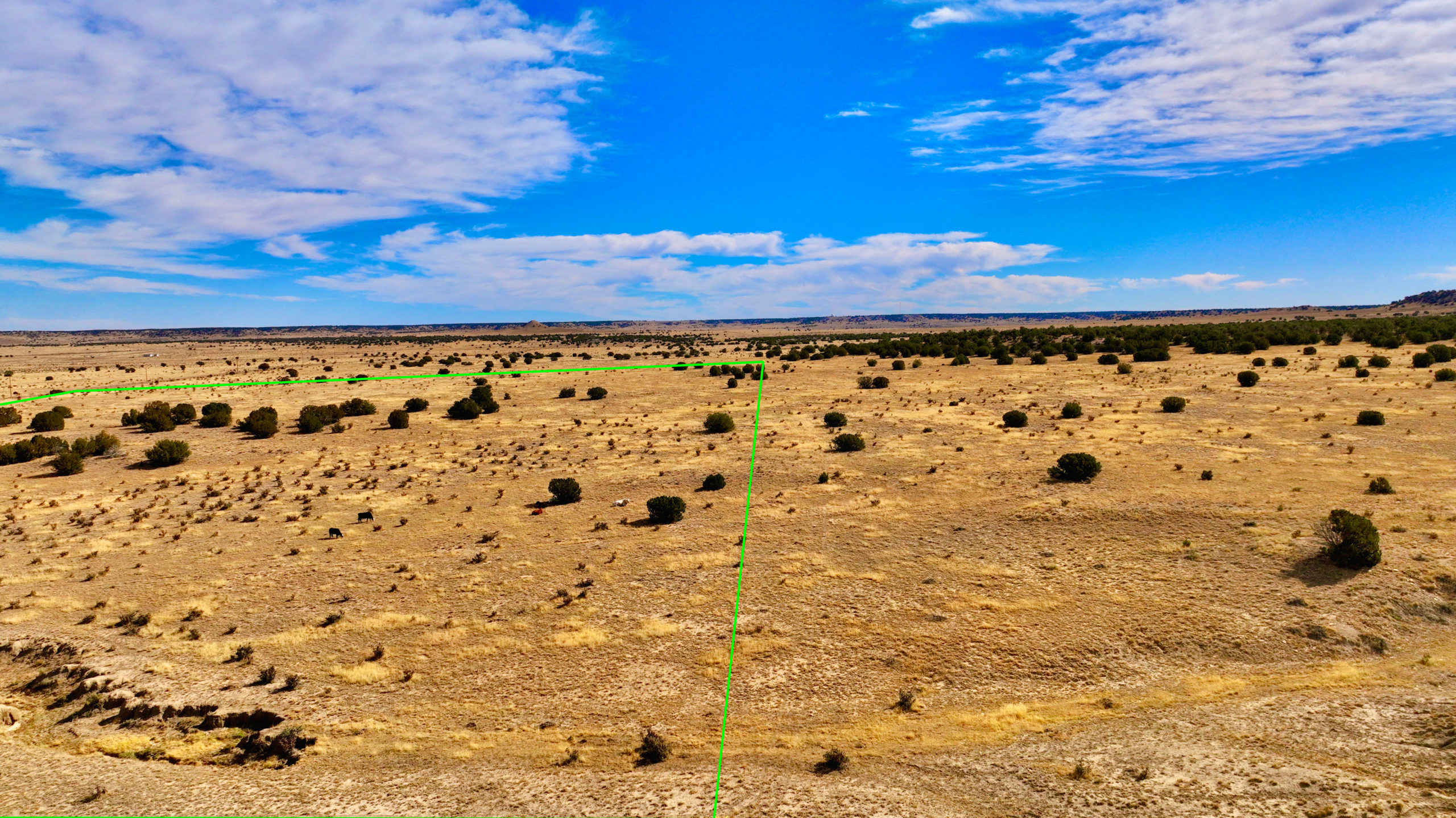
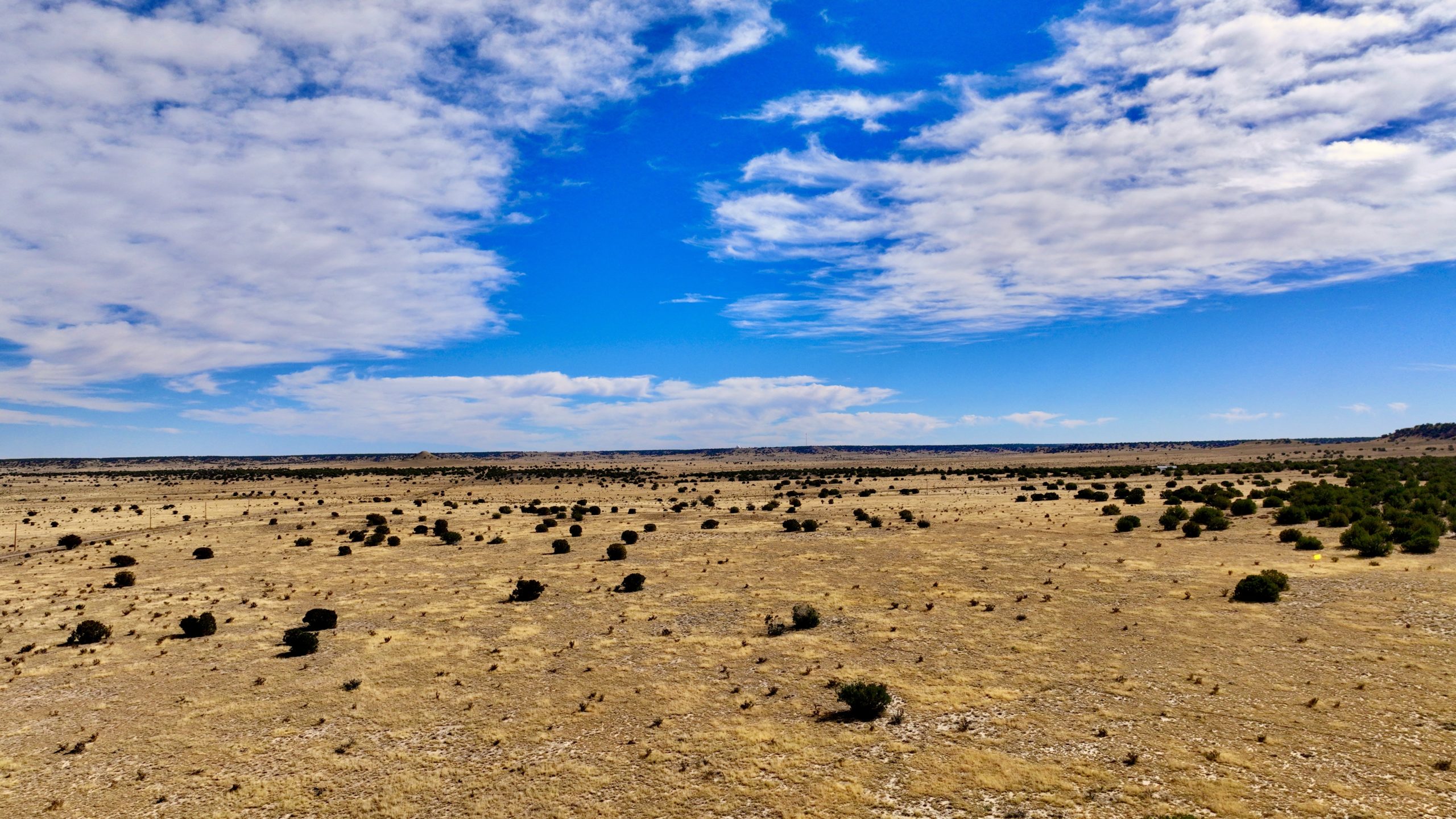
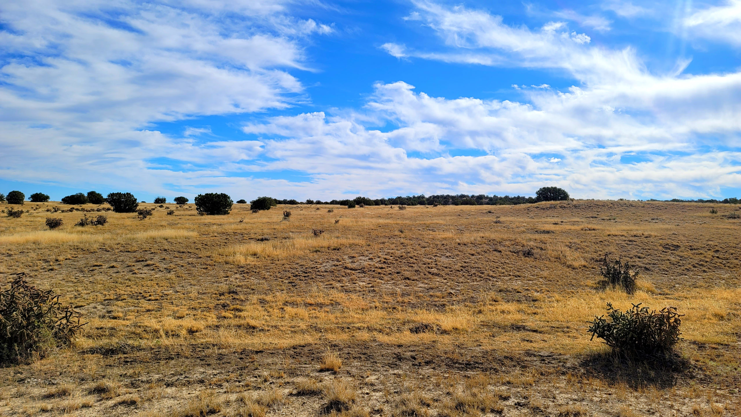
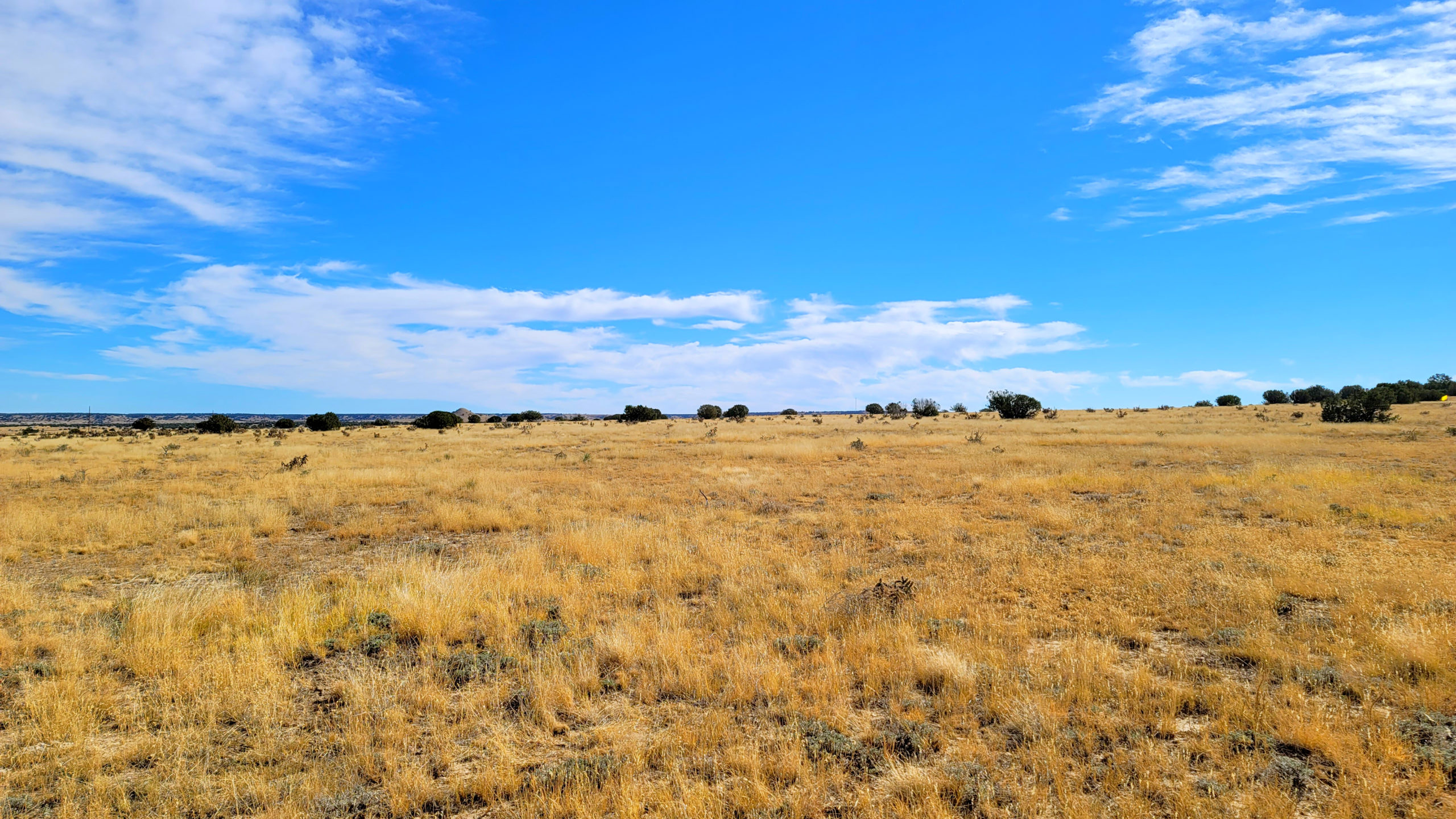
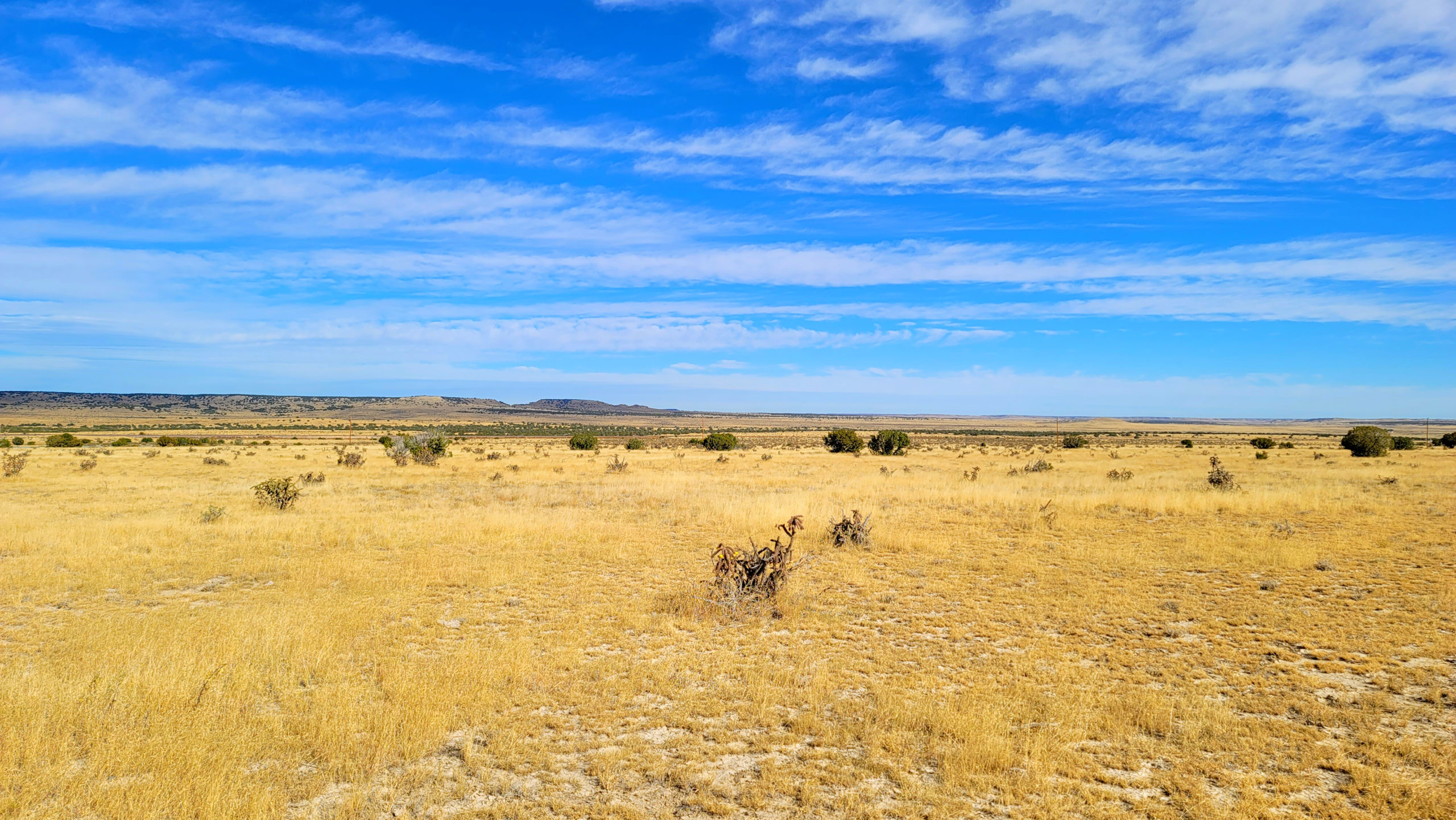
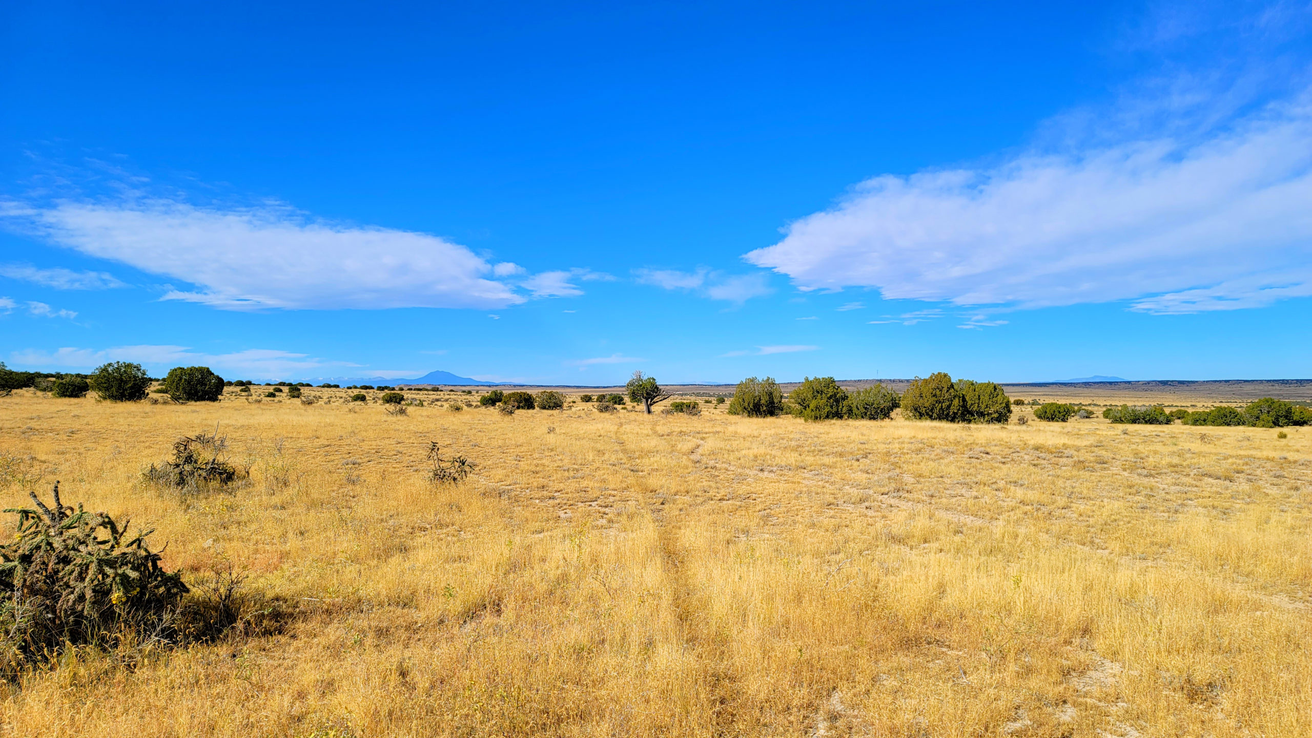
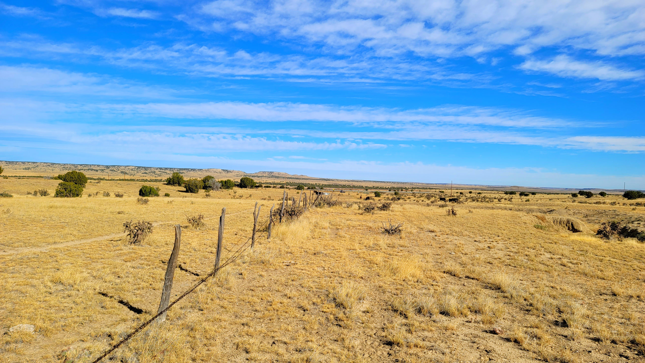
This 37 acre parcel features the perfect mixture of open space, grazing land, and flat ground to build.Go hiking, hunting, camping, fishing, mountain biking, and enjoy all that Colorado has to offer.
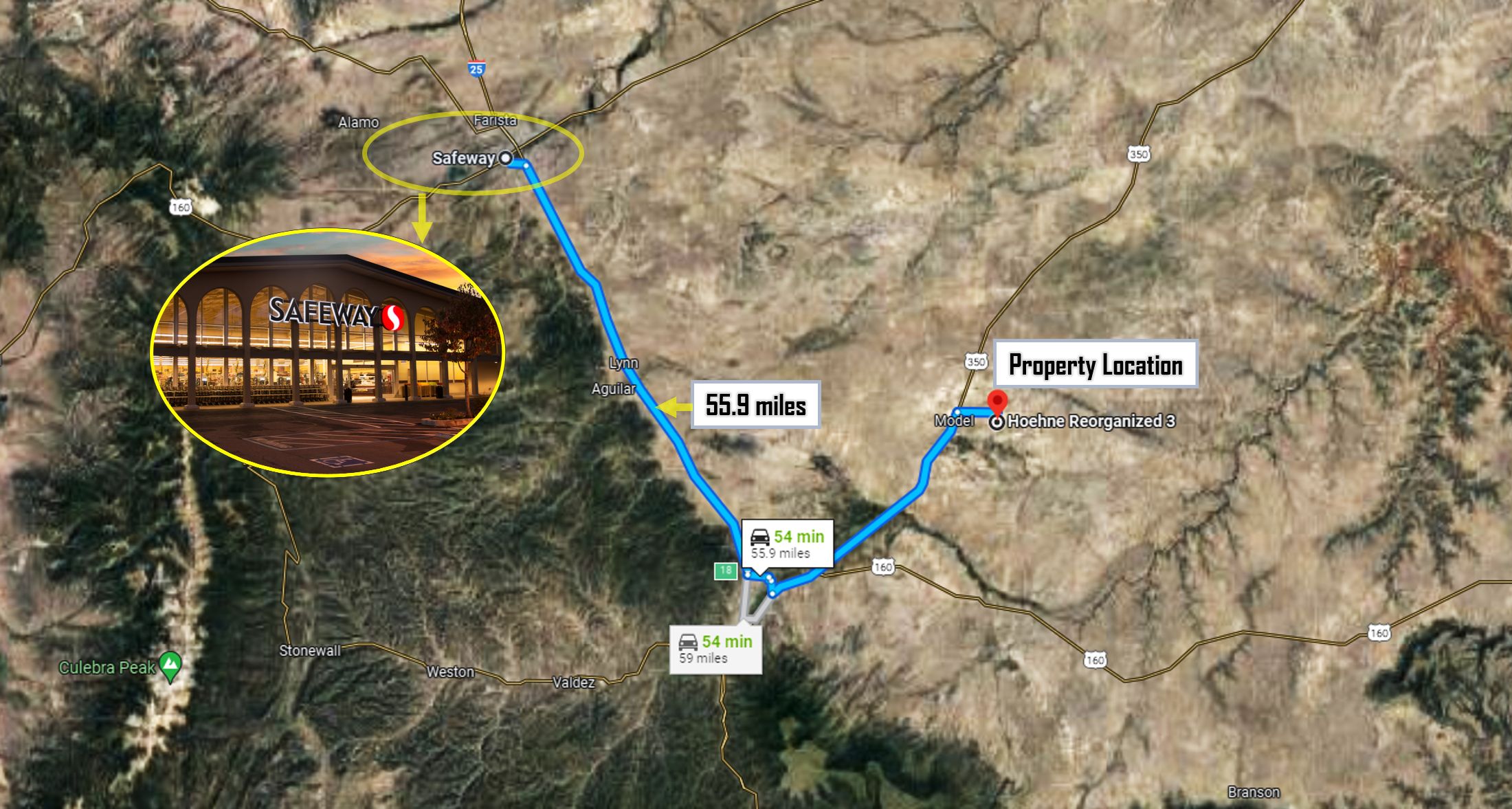
Approximate Drive Times to Nearby Cities
30 Minutes from La Junta, CO
1 hour from Trinidad, CO
1.5 hours to Pueblo, CO
2.5 hours to Colorado Springs, CO
Make this property yours for $28,400 or
$5k down and $697/mo x 55 months
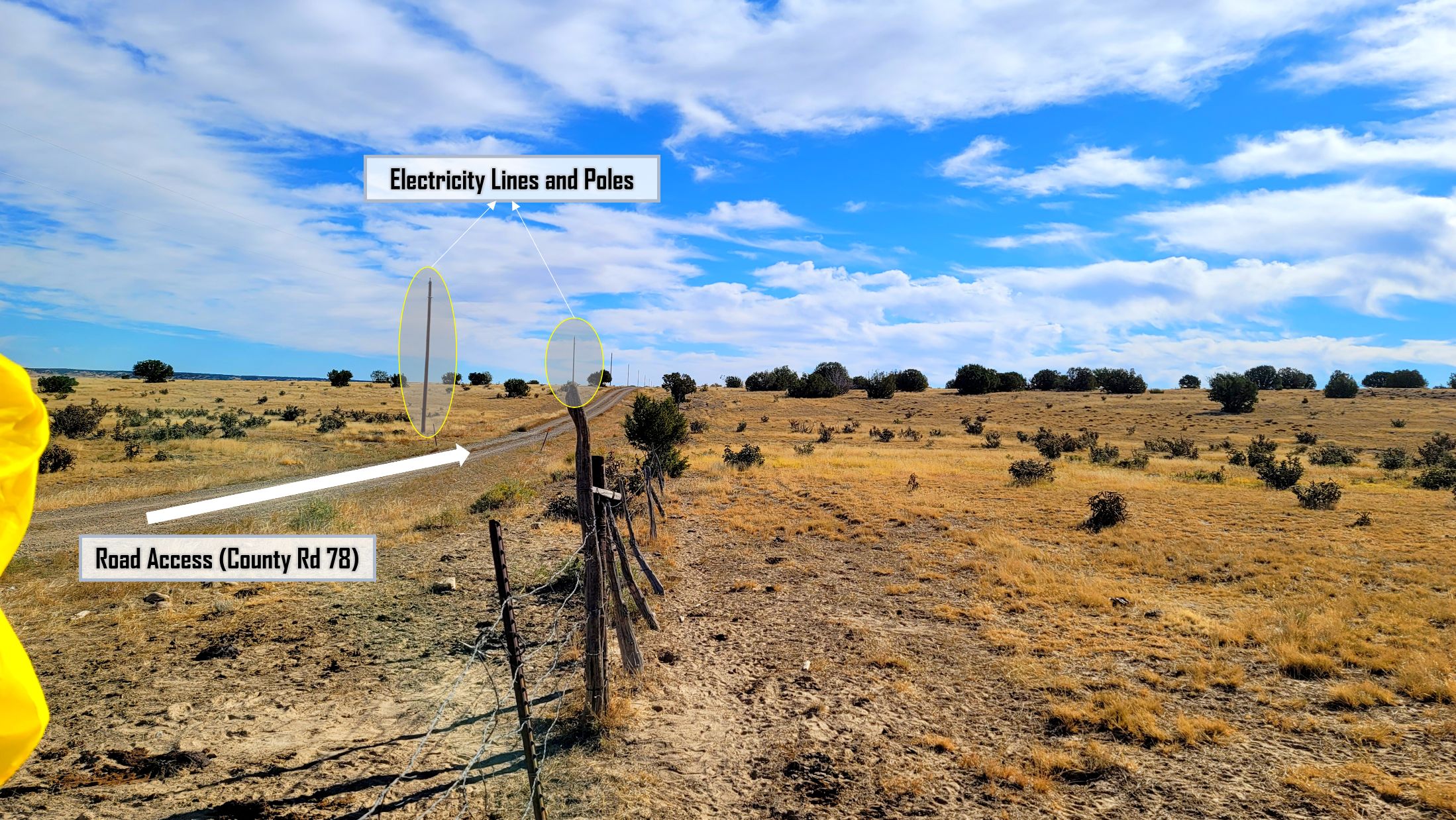
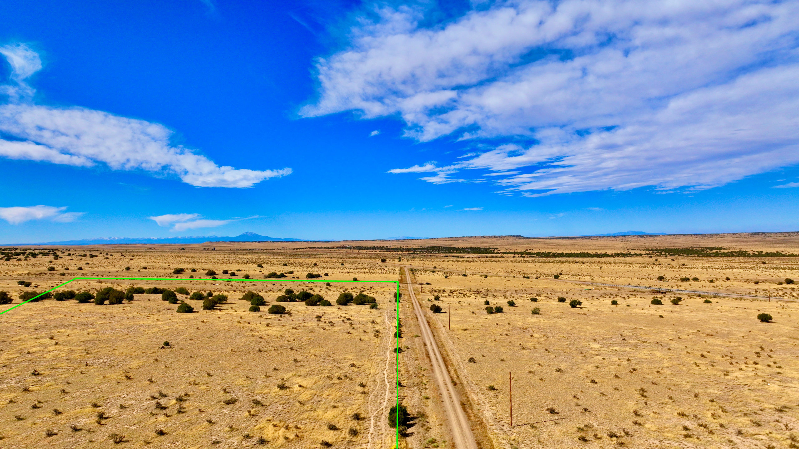
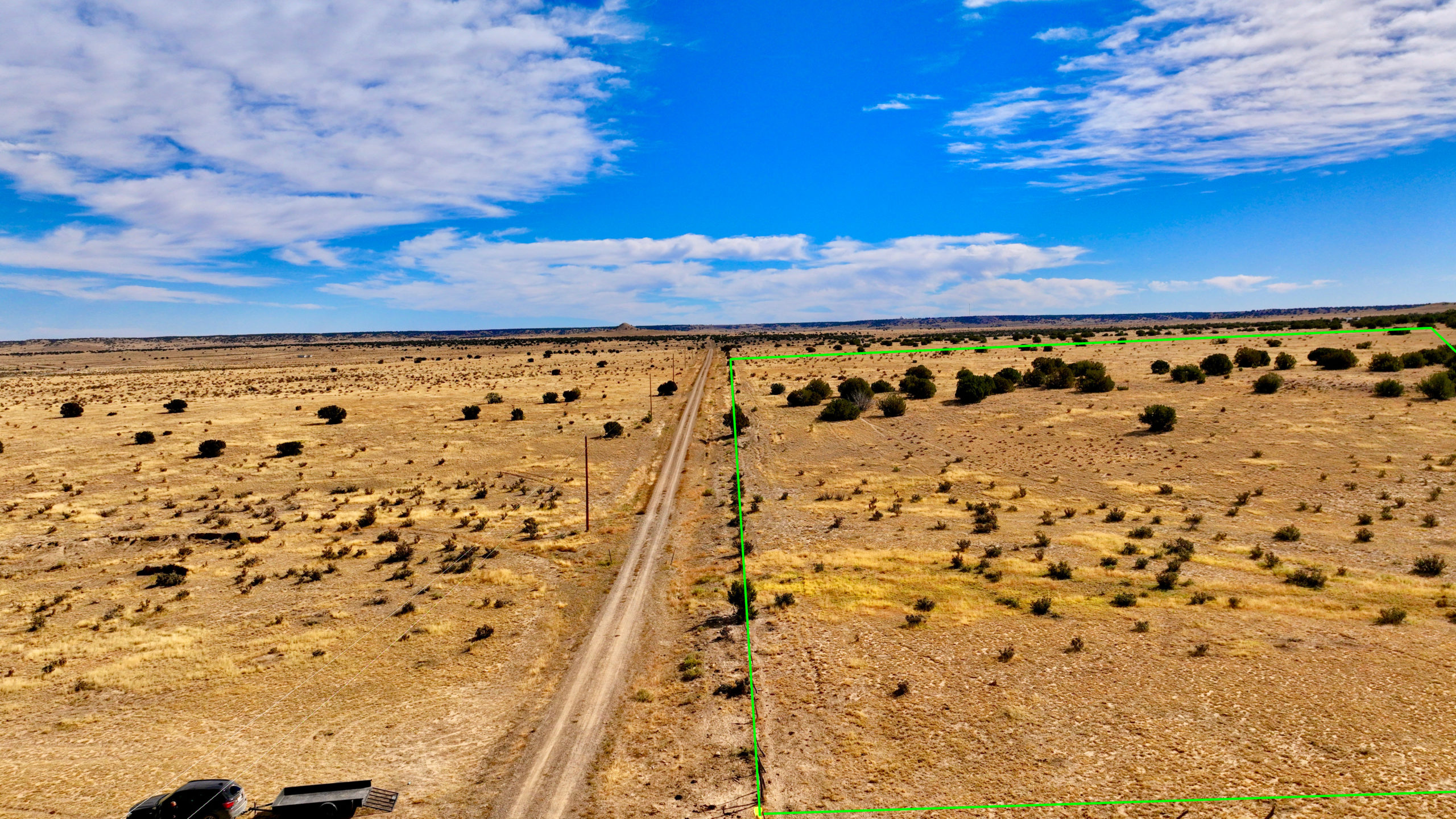
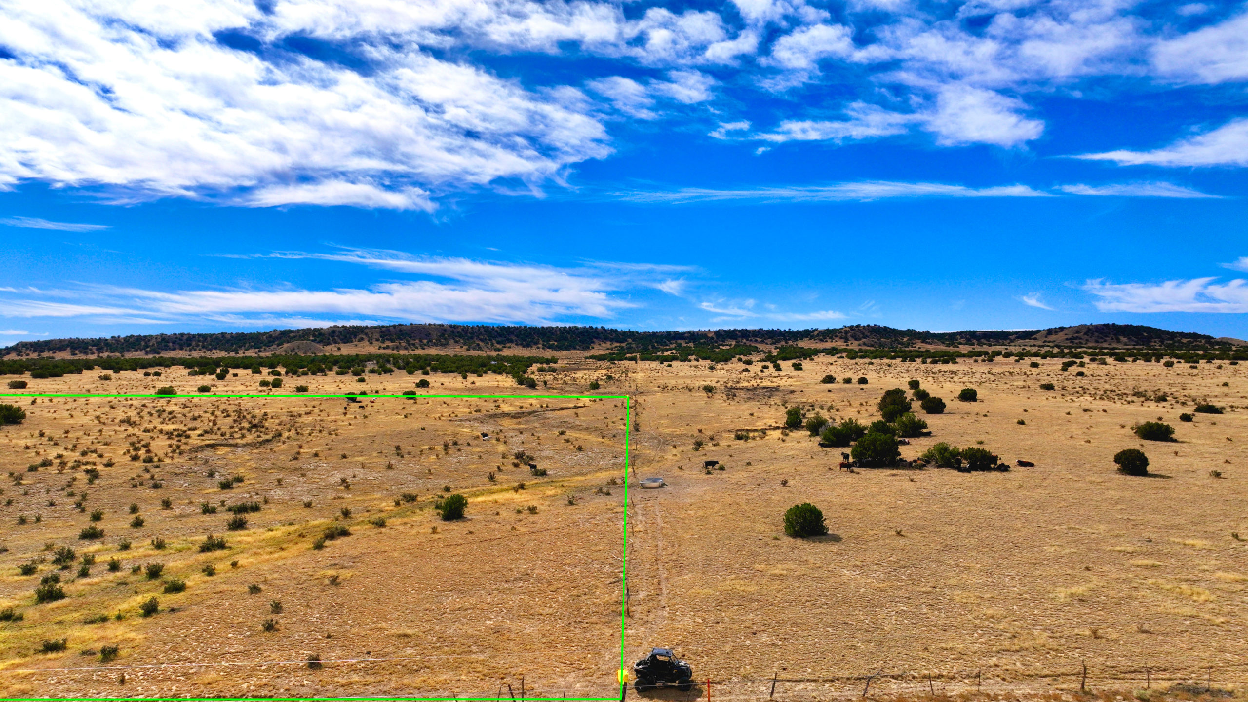
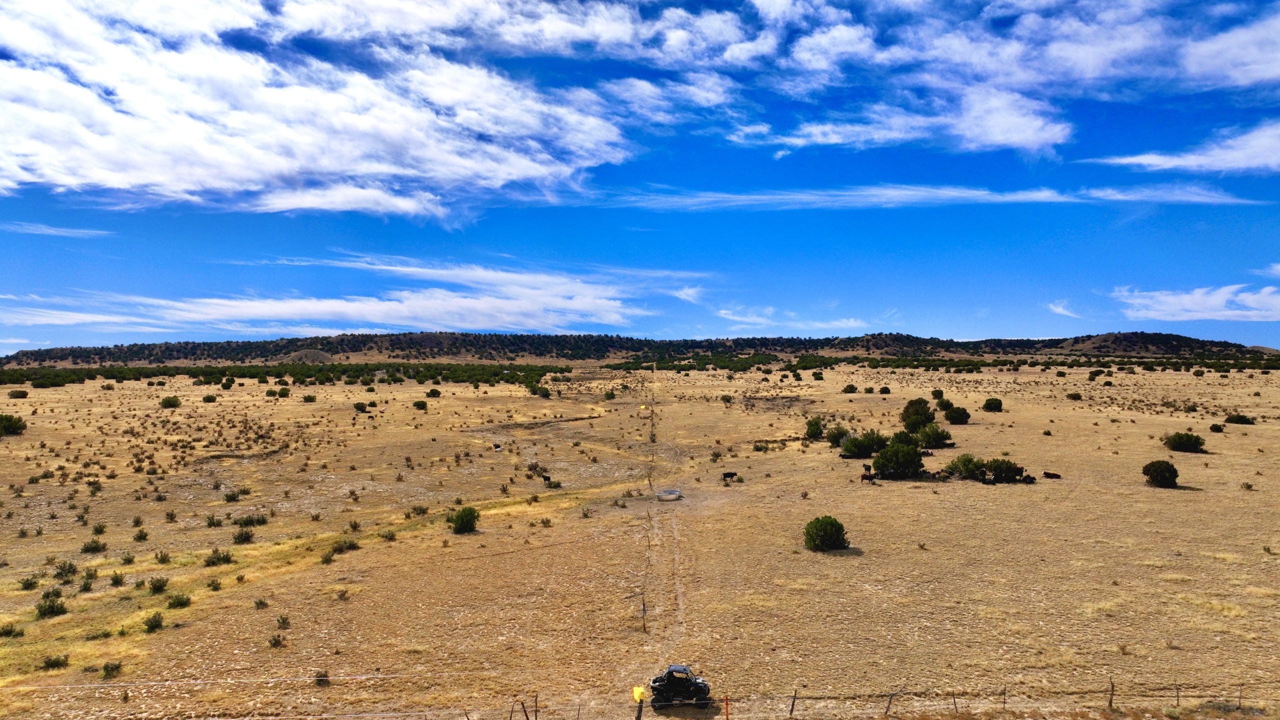
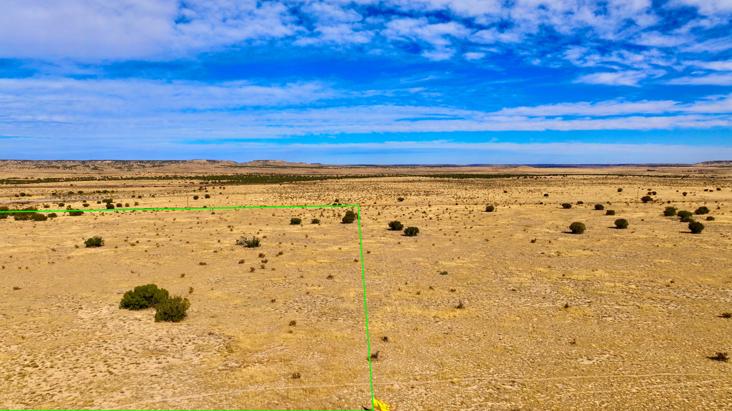
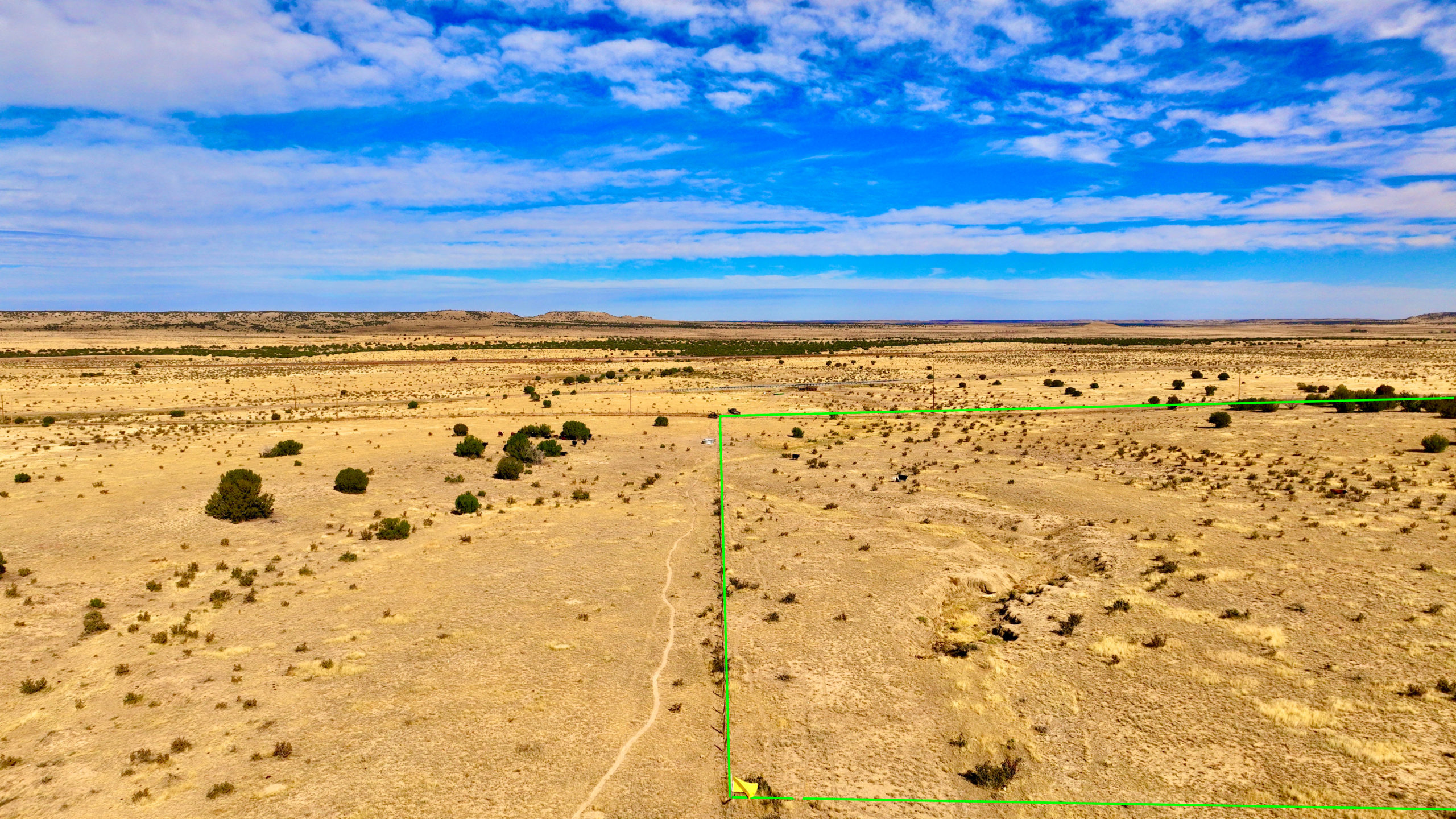
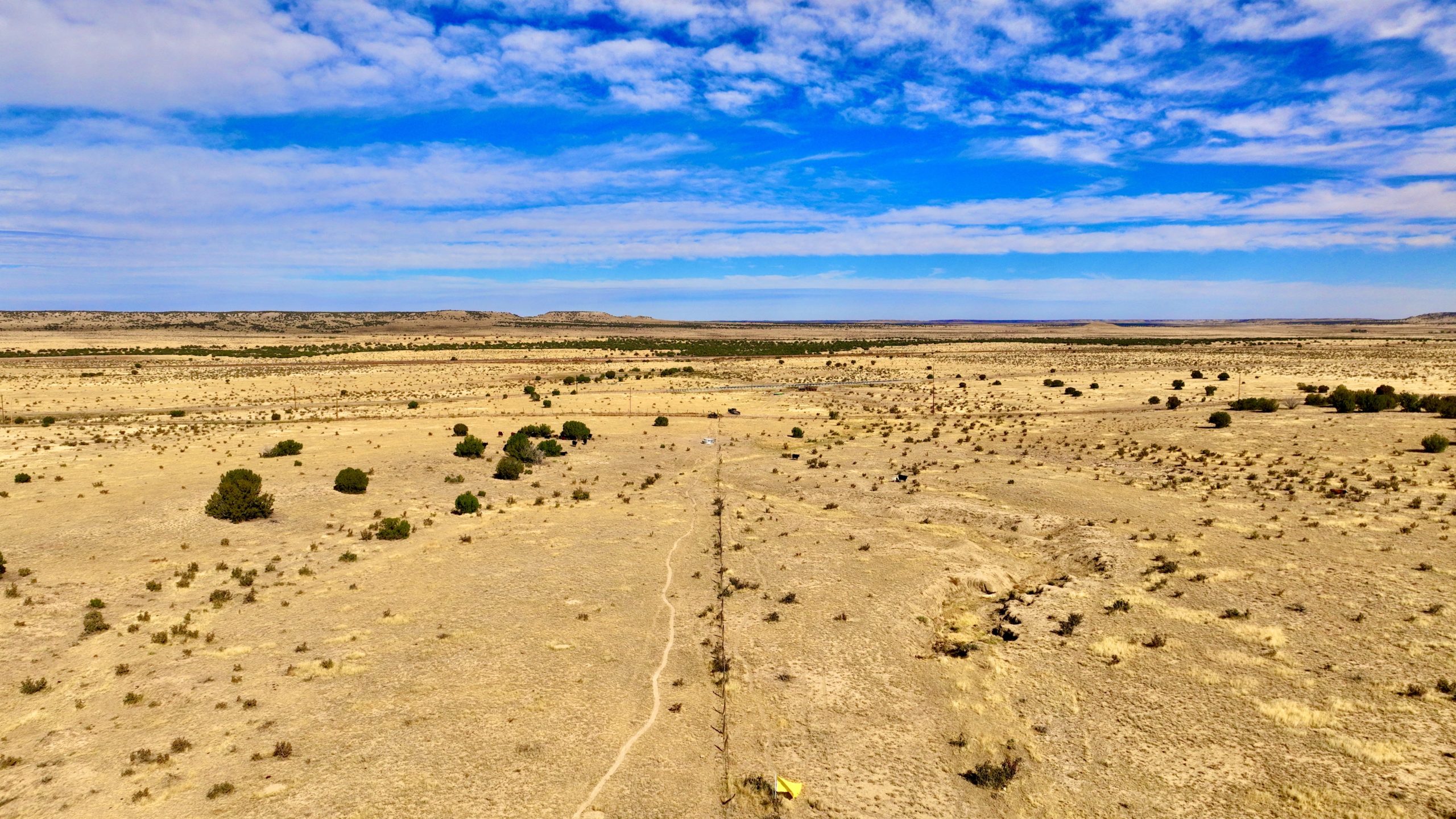
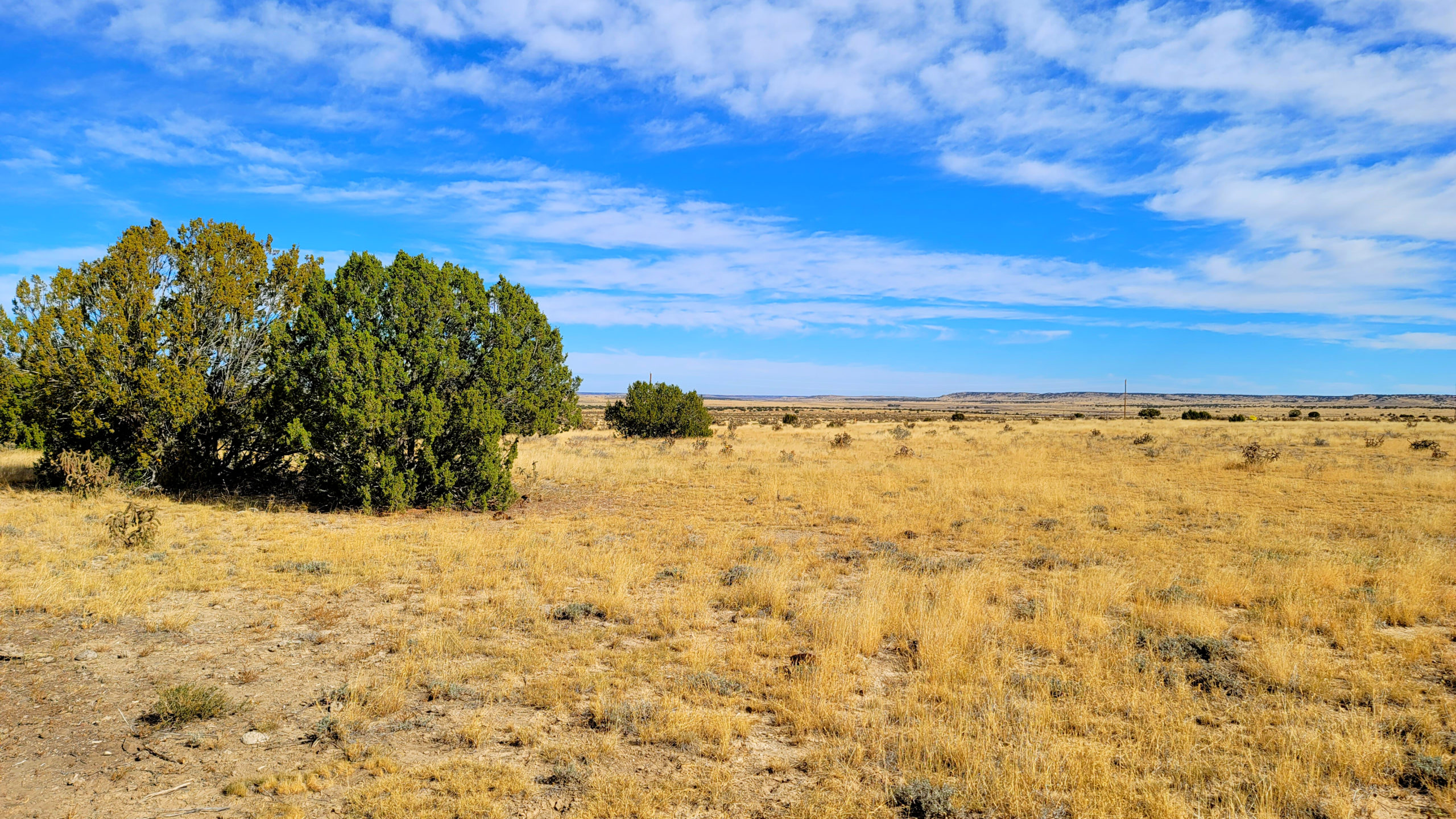
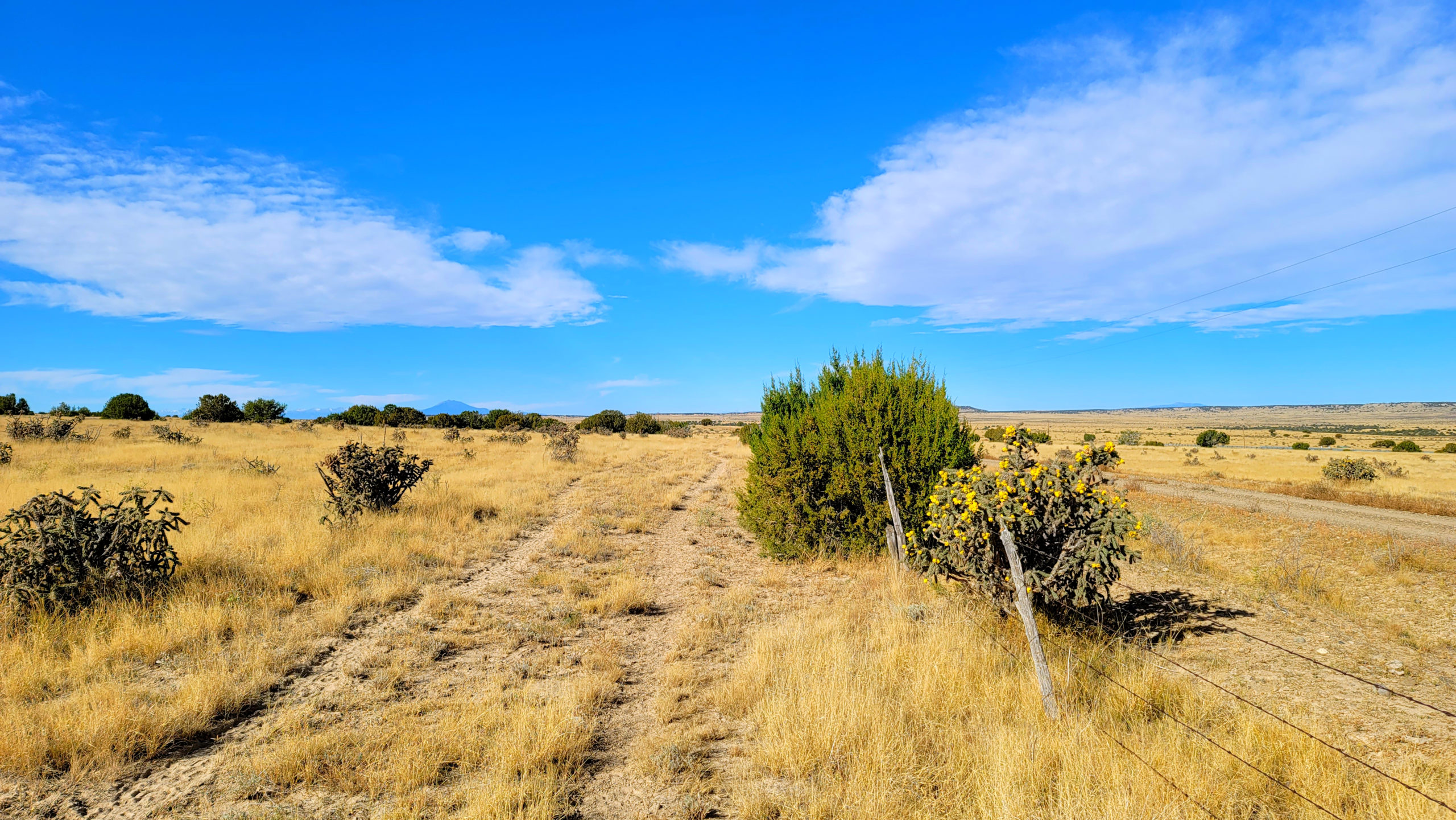
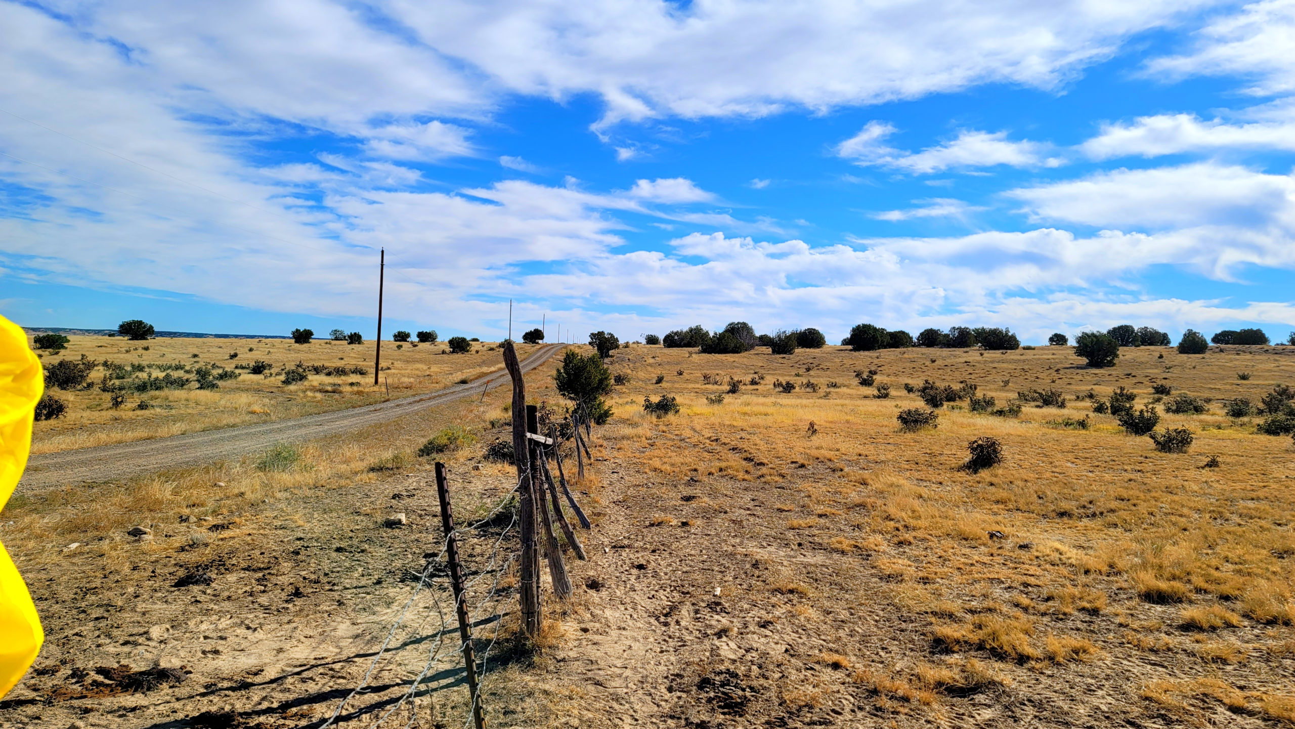
The property has small hills toward the south side of the property. There are power lines running along the north side of the access road. There is an access gate, strands of barbed wire, next to the NW property corner just passed a cattle guard crossing.
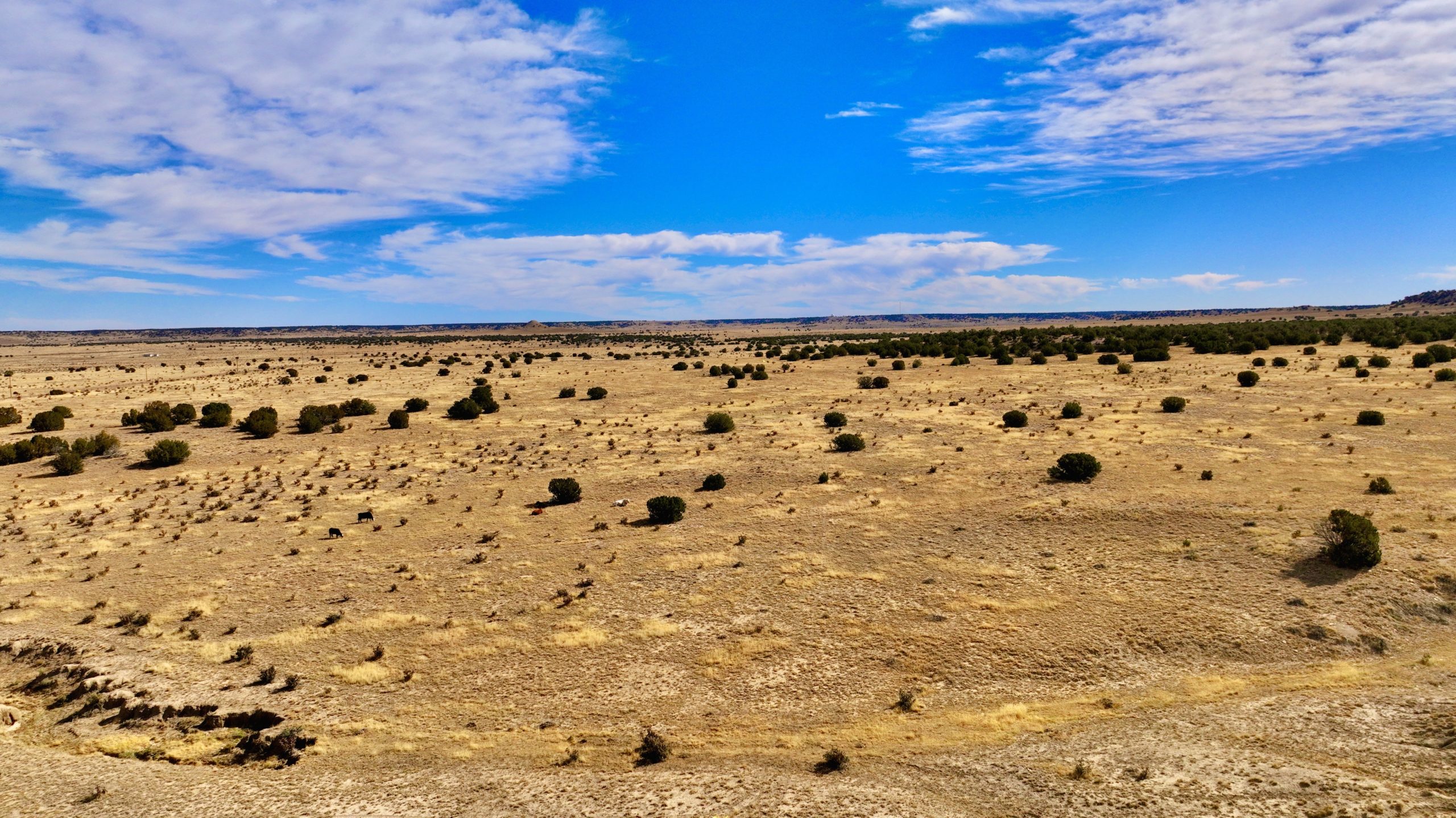
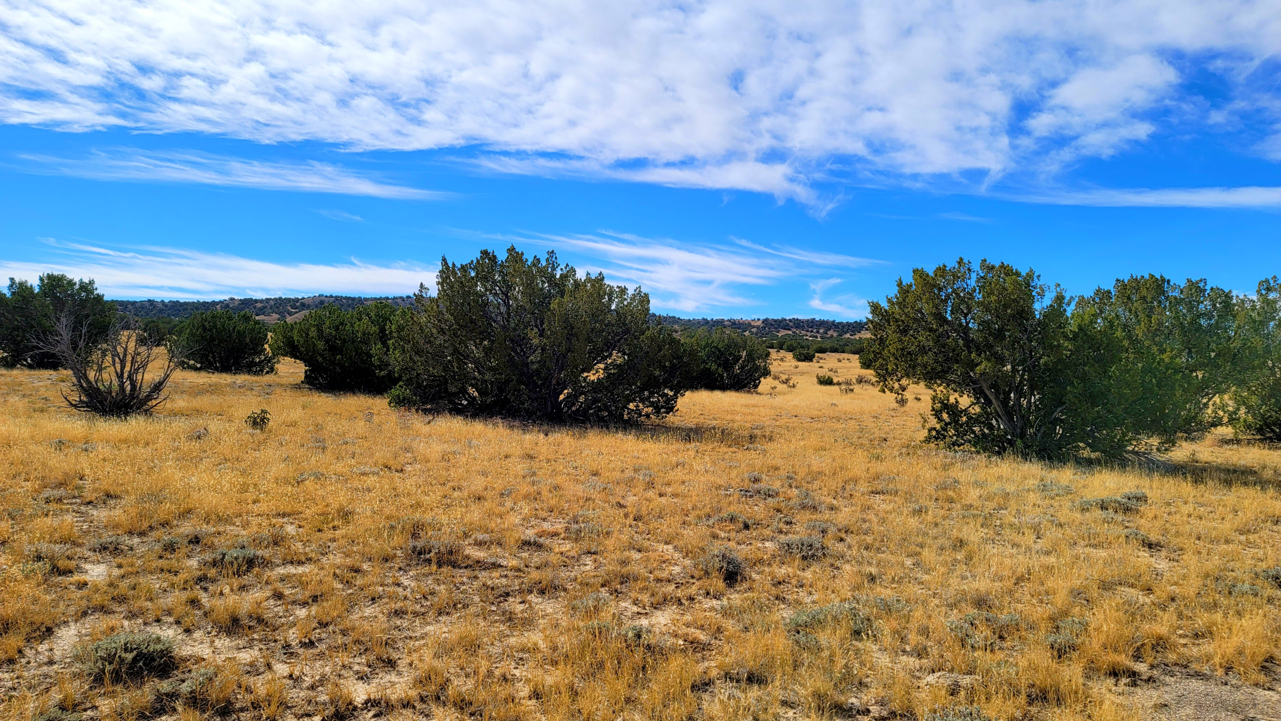
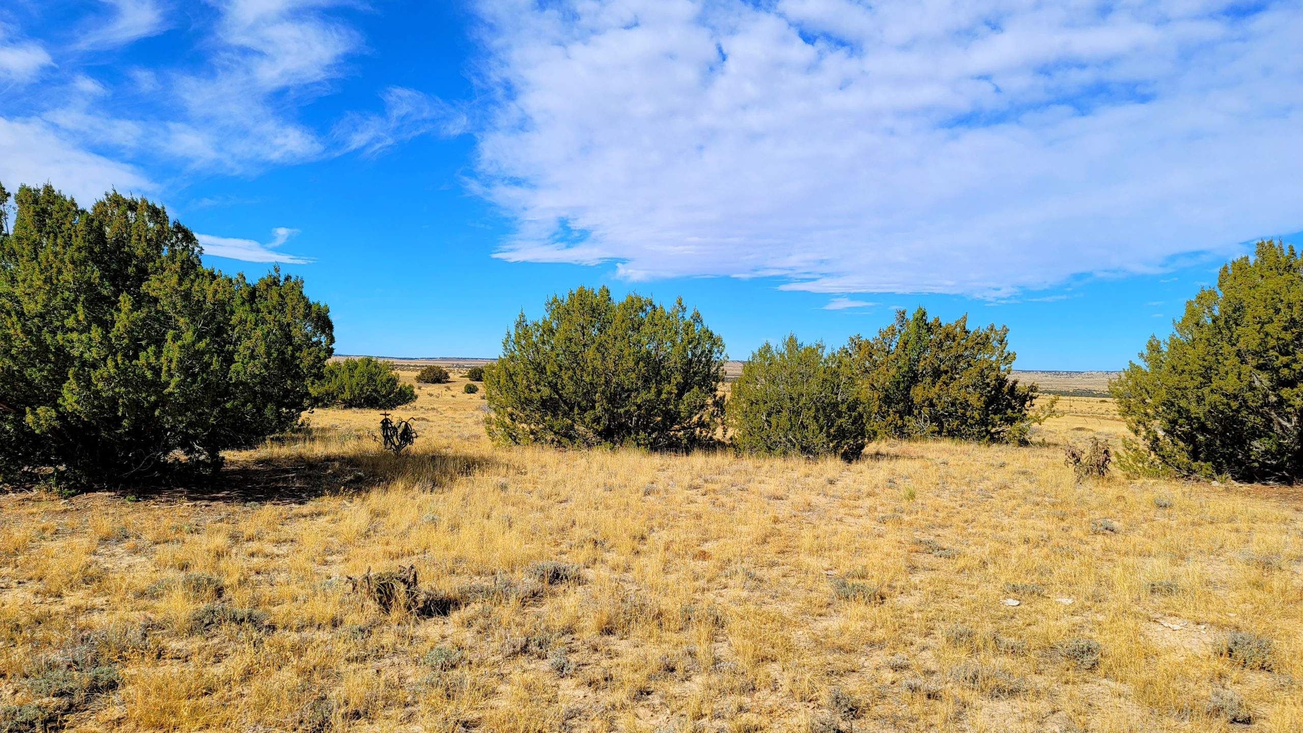
The property is generally flat with Cedar trees spread across the property, with a concentration toward/in the center. Most of the ground is hard dirt.
There are signs of wildlife. We found tracks for deer/antelope, we also found scat for those animals, as well as cows and possibly coyotes. We did find cattle on the property. Colorado law is a fence out state. This means if you do not put a fence up to keep cattle out, they are allowed to graze your property. Cattle can easily break through weaker types of fencing. The other wildlife to be known in the area are coyote, black bear, mountain lion, eagle, badger, and elk. Rattle snakes, tarantulas, and various species of rodents also live in this area
We did not find any debris on the property at all.
We spoke with 2 residents who inquired what we were doing. Both were very nice individuals that live in the general area. From speaking with them, we learned the general history of the area, too many names to remember, as well as the rights of the grazing issue.
Nearby Attractions
- Hwy 350 is the Historic Santa Fe Trail Auto Route. 5 miles of Hwy 350 are the original trail.
- The Comanche National Grasslands start approximately 18 miles from the property east on Hwy 350.
- Iron Spring Interpretive Site on CR 9 is approximately 15.9 miles from CR 78 on Hwy 350 east.
- The Sierra Vista Interpretive Site is approximately 37.6 miles from CR 78. It is located on Hwy 71 North.
- Dinosaur Tracks Trailhead is approximately 54.4 miles away
Coordinates (Approx center, buyer to verify): 37.555000, -104.075000
4 Corner Coordinates (Approx as per County GIS, buyer to verify):
37.557,-104.073
37.557,-104.078
37.554,-107.078
37.554,-104.073
Parcel Number: 13665500
Legal Description: LAS ANIMAS RANCH 01-29-60 NWNW- CONT-37.33 ACRS M/L
Account Type: VACANT_LAND
Tax: $238.12
Tax Area 39Y – DISTRICT 39Y
Lot: NWNW
Site Address: 59100 COUNTY ROAD 78
Deeded Acres: 37.33
Calculated Acres: 38.24
DISCLAIMER: Any information provided in this communication is believed to be accurate, but in no way guaranteed. Buyer is responsible for verifying all information with the County as to what can and can’t be done with the property. Buyer will need to work with the County to obtain the proper permits if needed. Buyer will also need to confirm the availability of any utilities needed or serviced on the property. Seller makes no warranties or representations about the land, its condition, or what can be built on the property. If/when you visit any of our properties, you are visiting at your own risk and release TLP – The Land Pioneer (and anyone associated) from any and all claims or liabilities.
Virtual Tour

5.5 Acre Wooded Mountain Homesite Near Trinidad, Colorado (No HOA)
5 Acre Wooded Mountain Homesite Near Trinidad, Colorado (No HOA) W/Easy Owner Financing