


Specification
Features
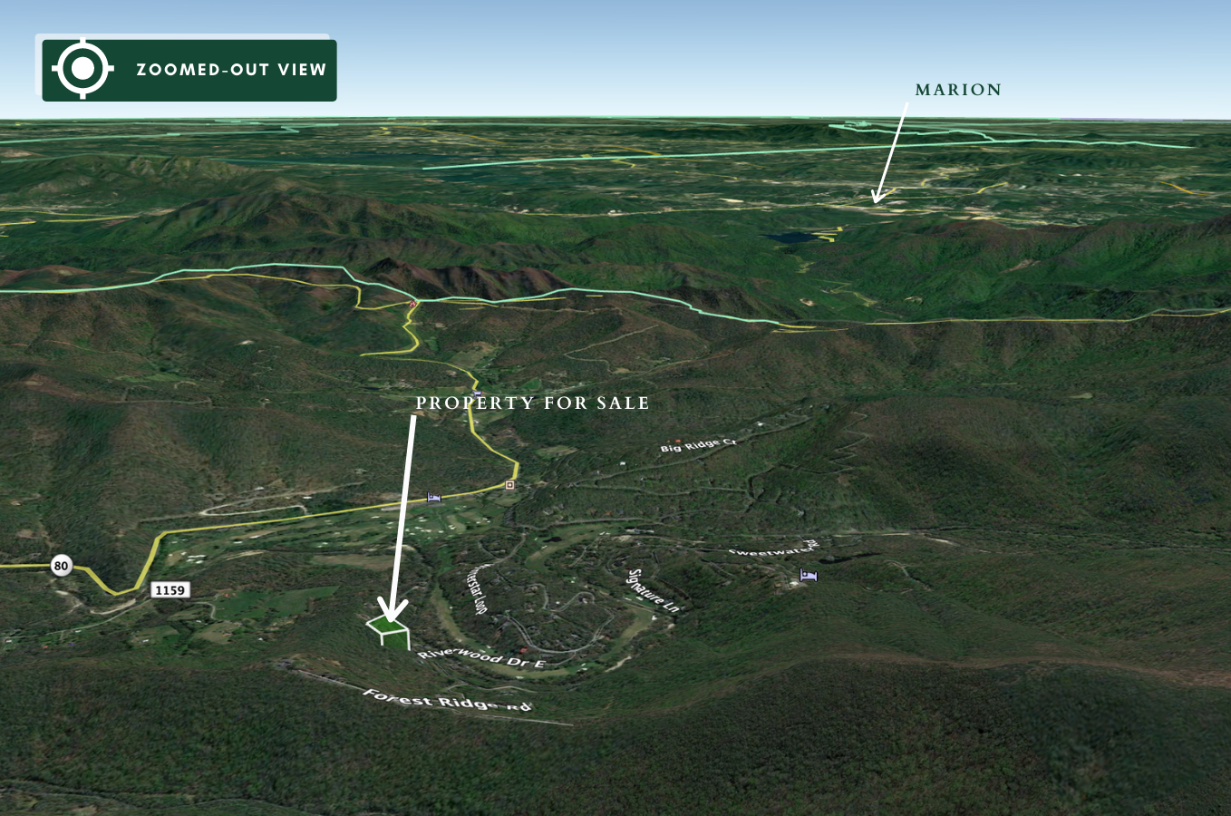
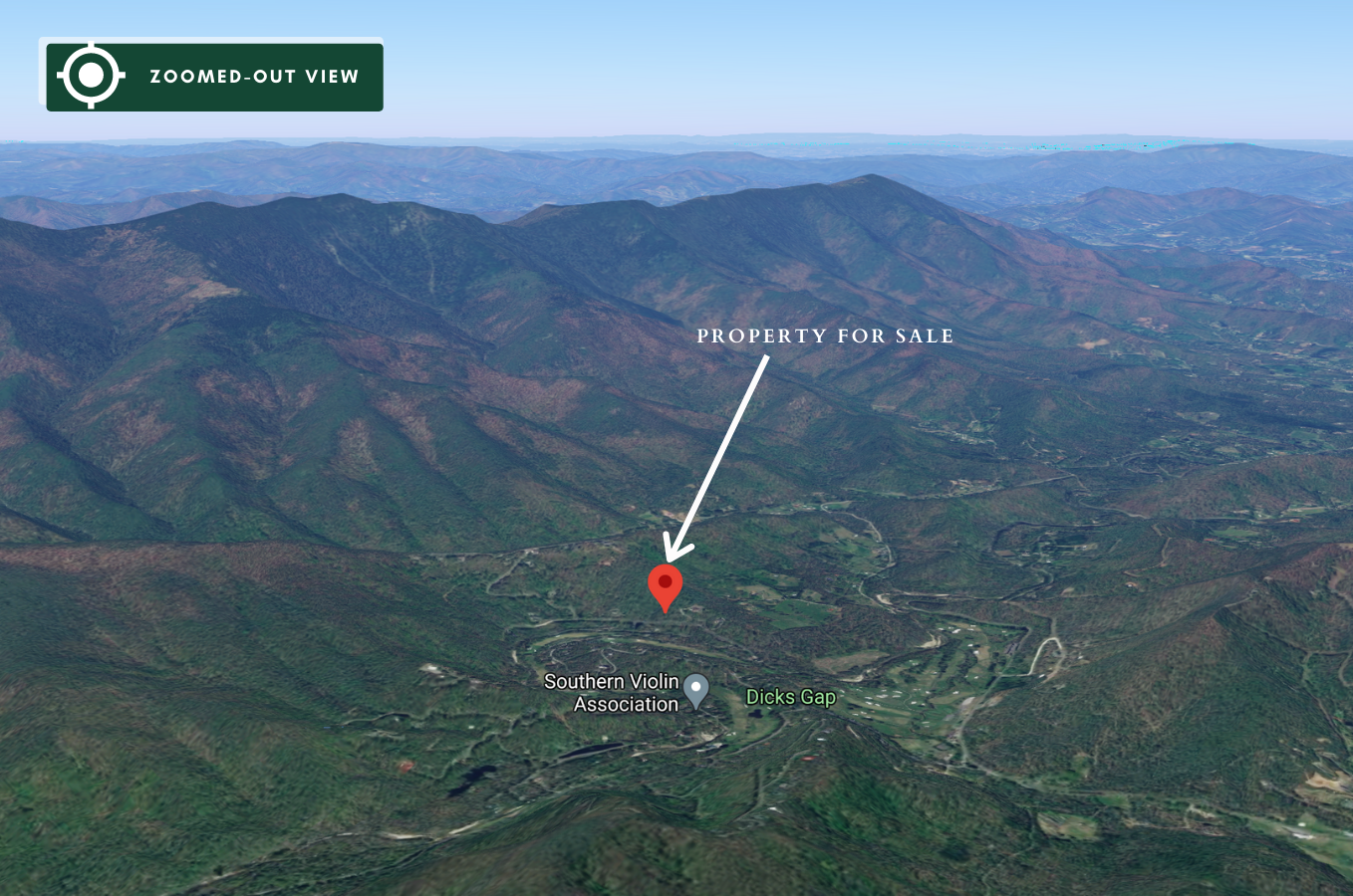
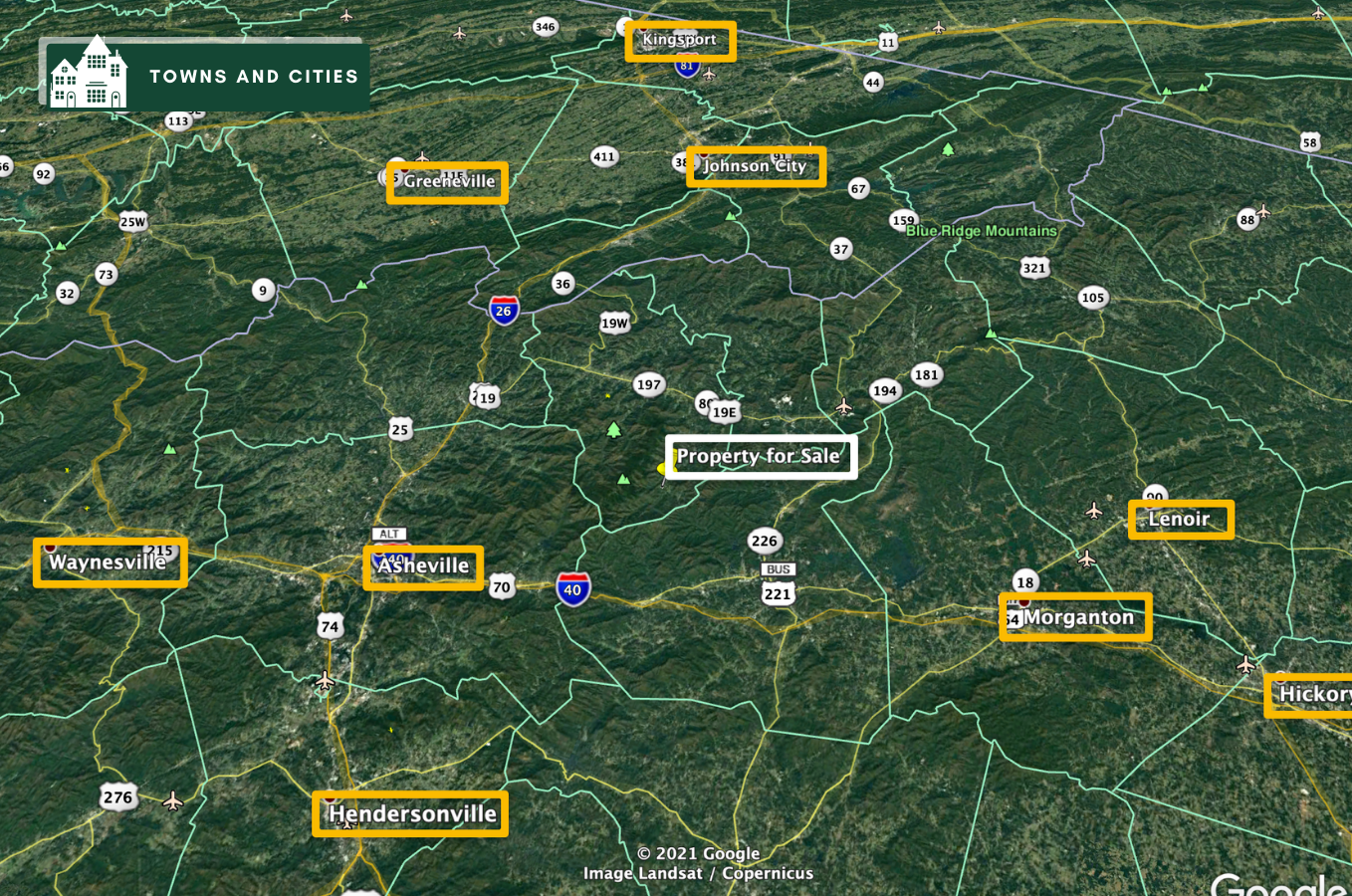
Location
Description
DESCRIPTION
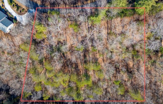
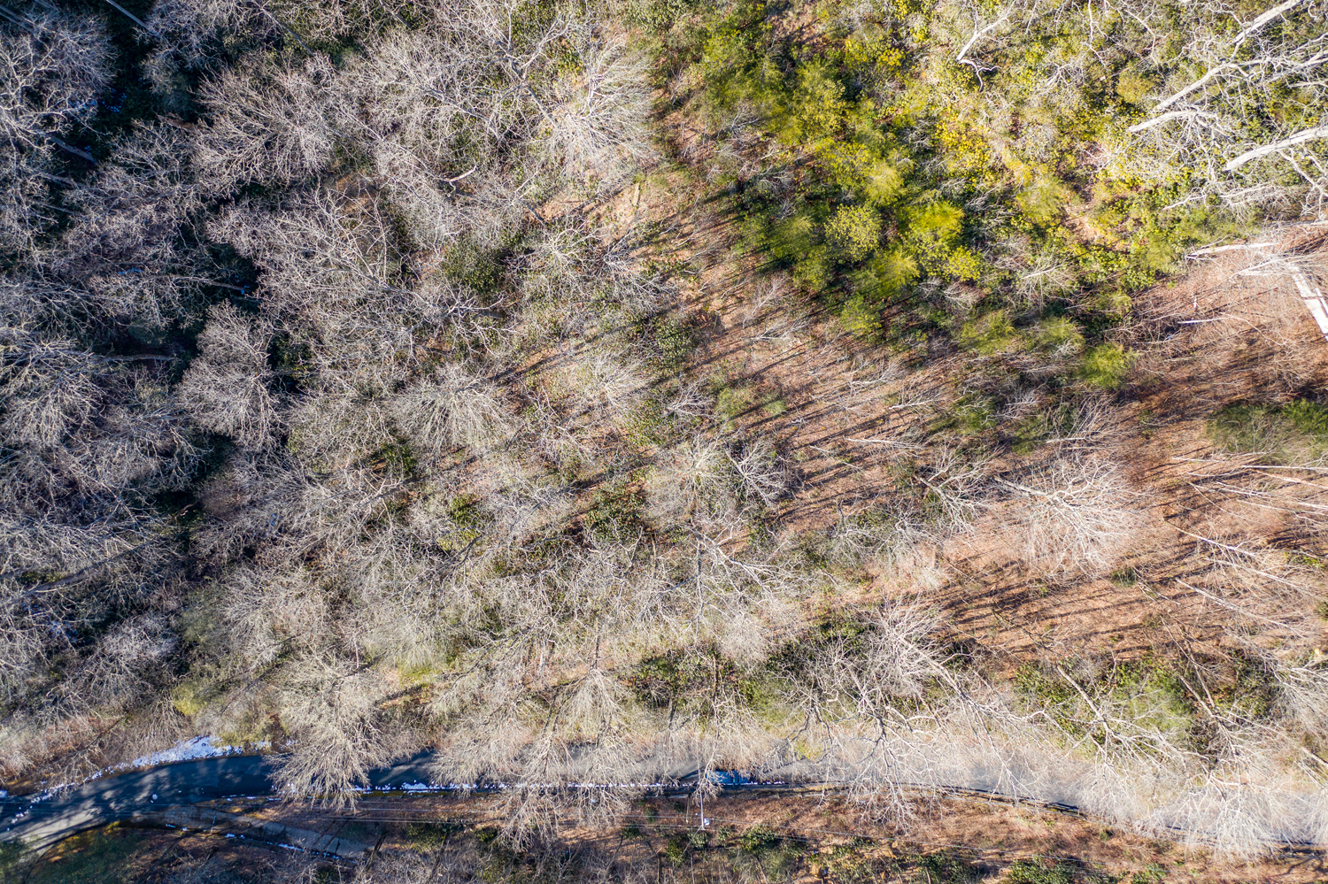
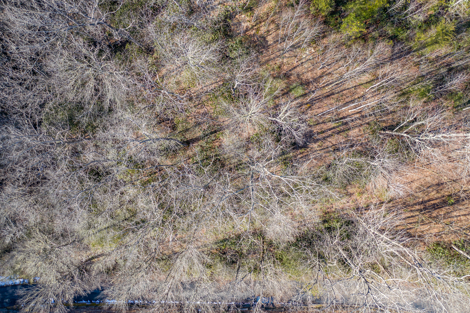
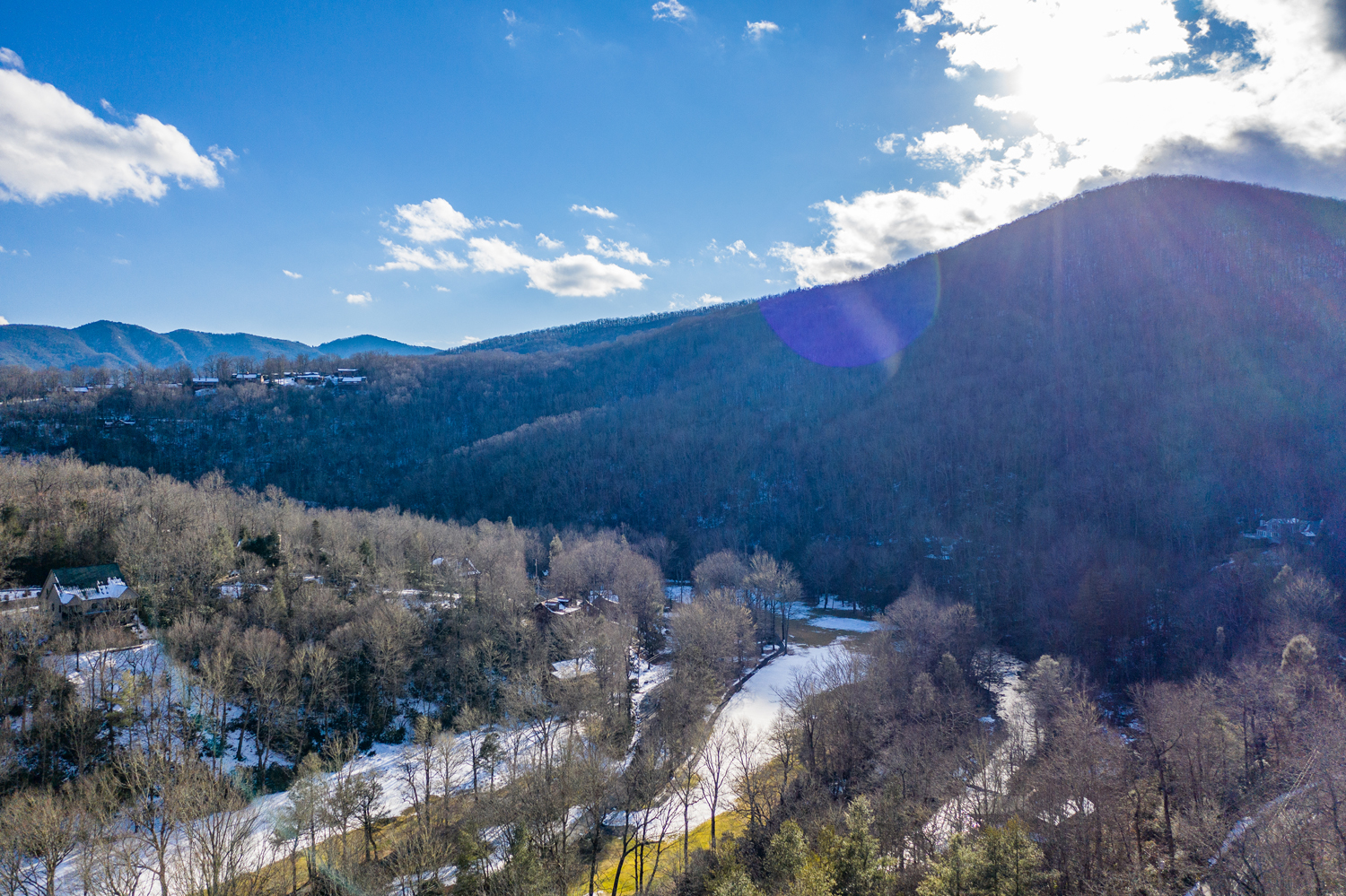
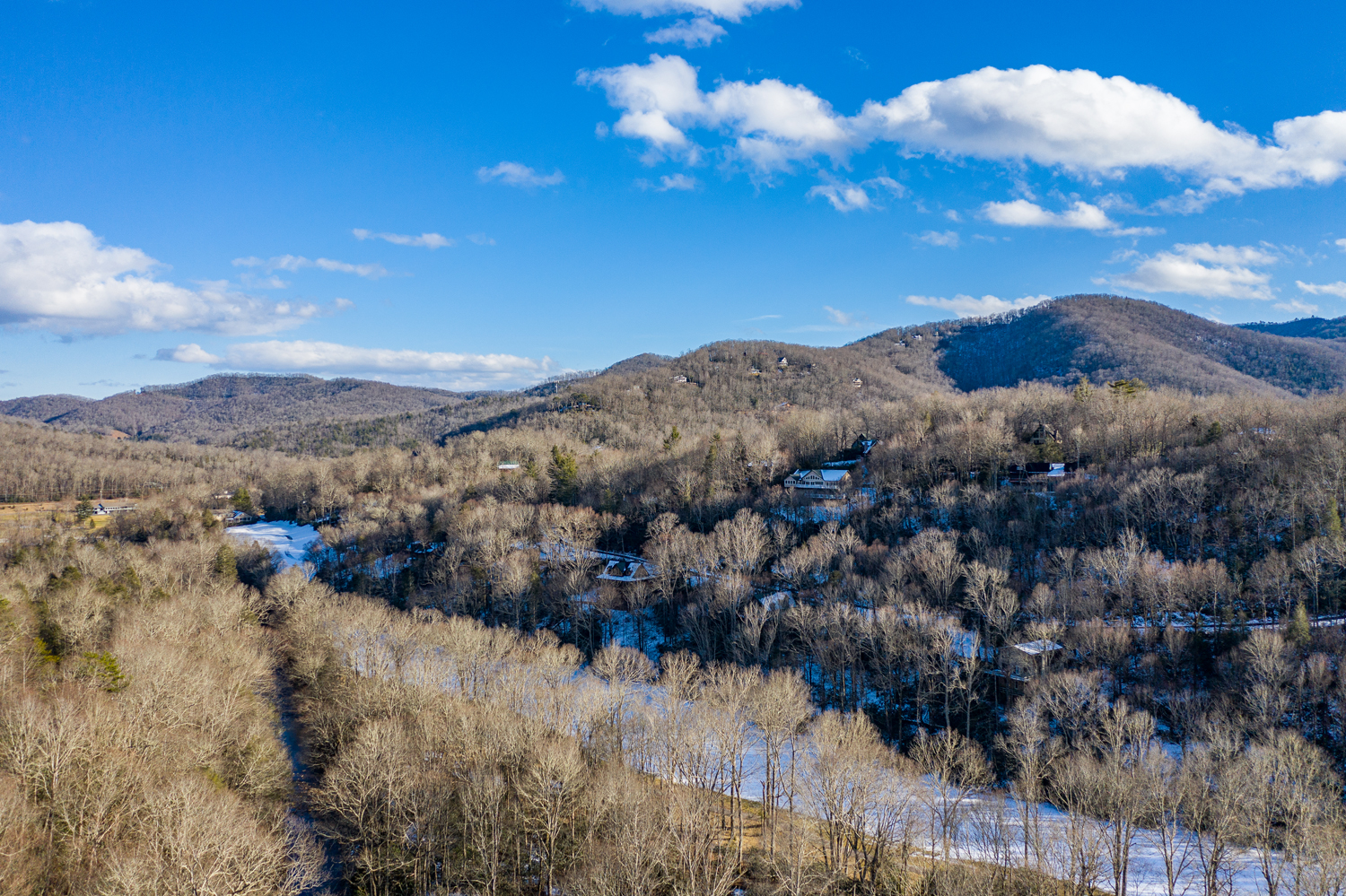
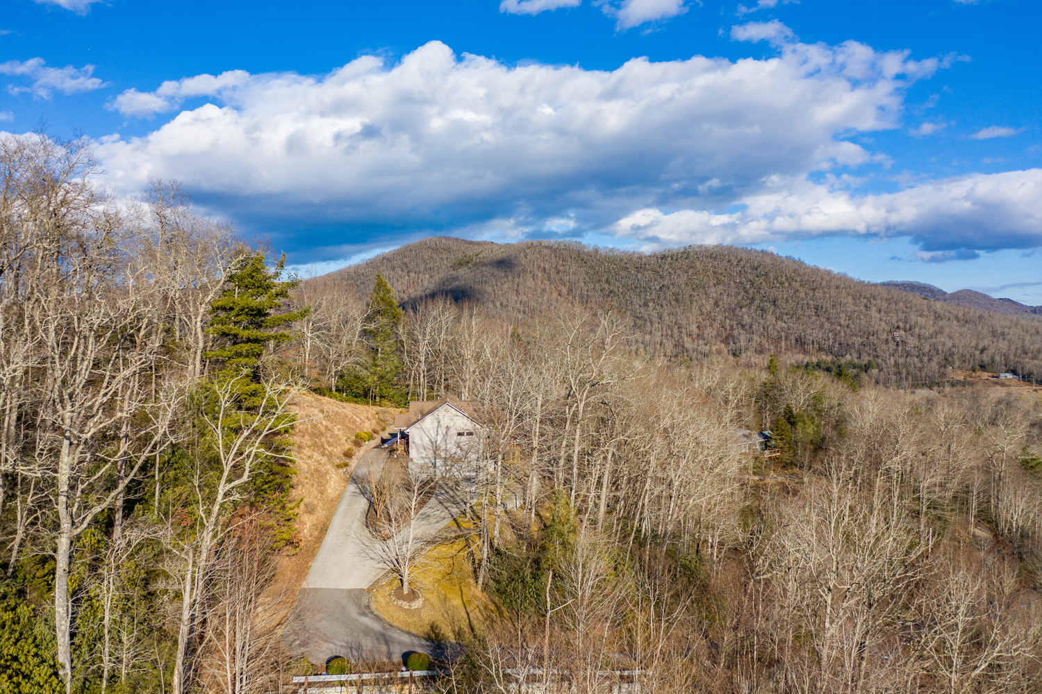
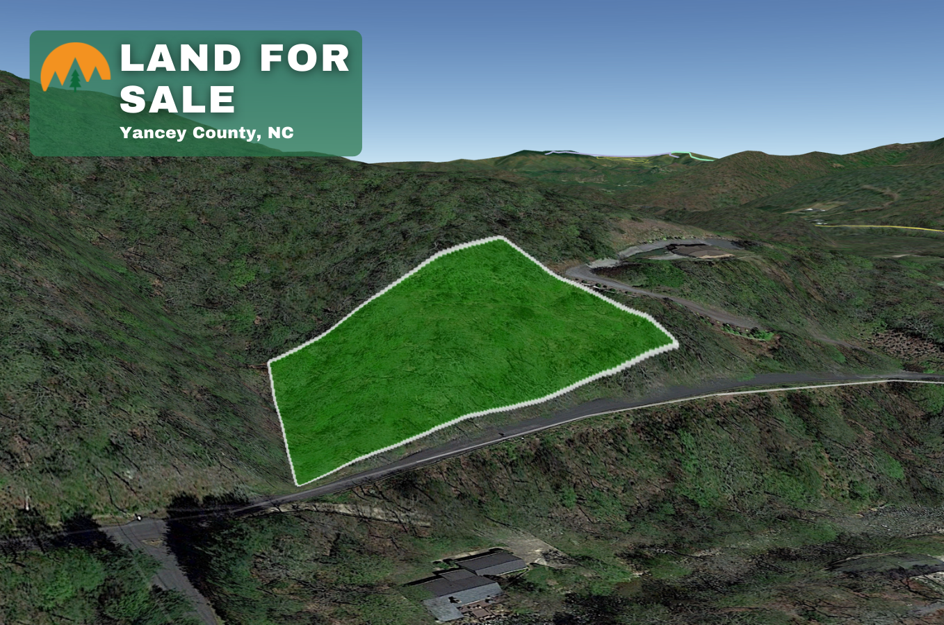
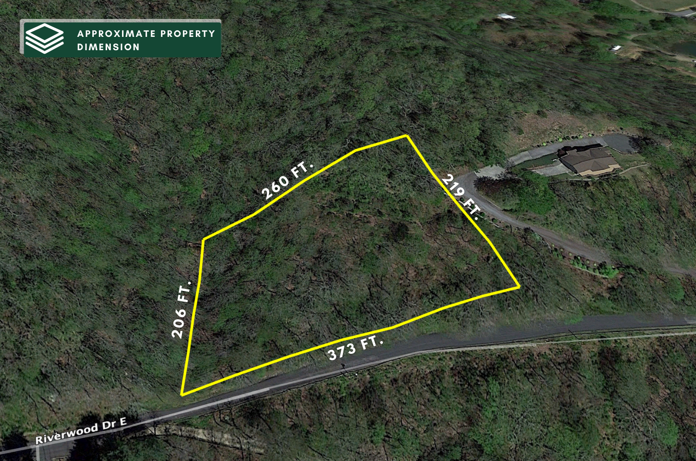
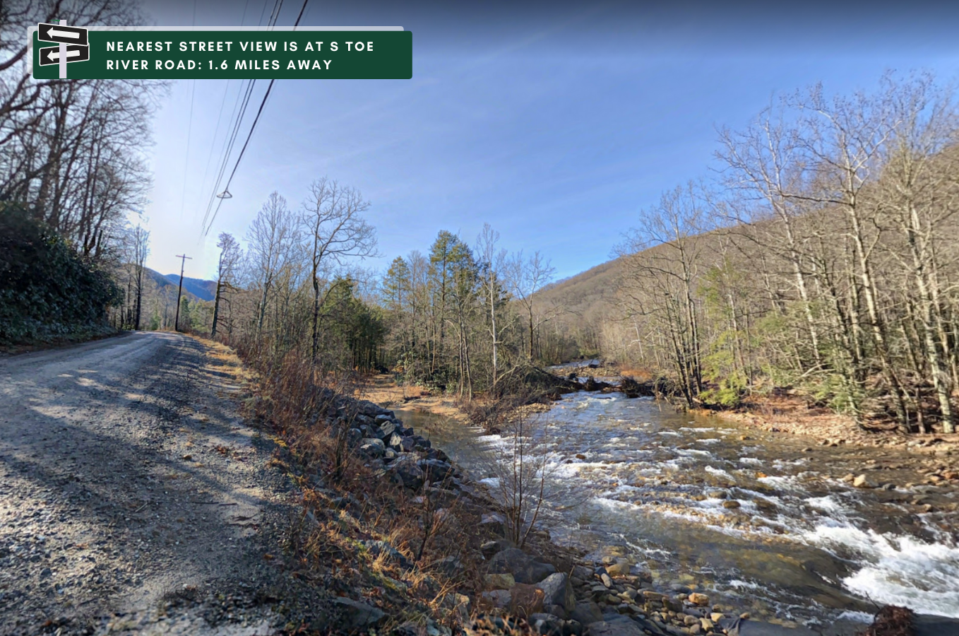
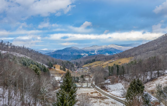
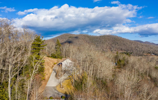
Stunning 1.39 acres located in the Beautiful Riverwood community which is nestled in the Toe River Valley. Just a short 2 minute walk down to the South Toe River from this property.
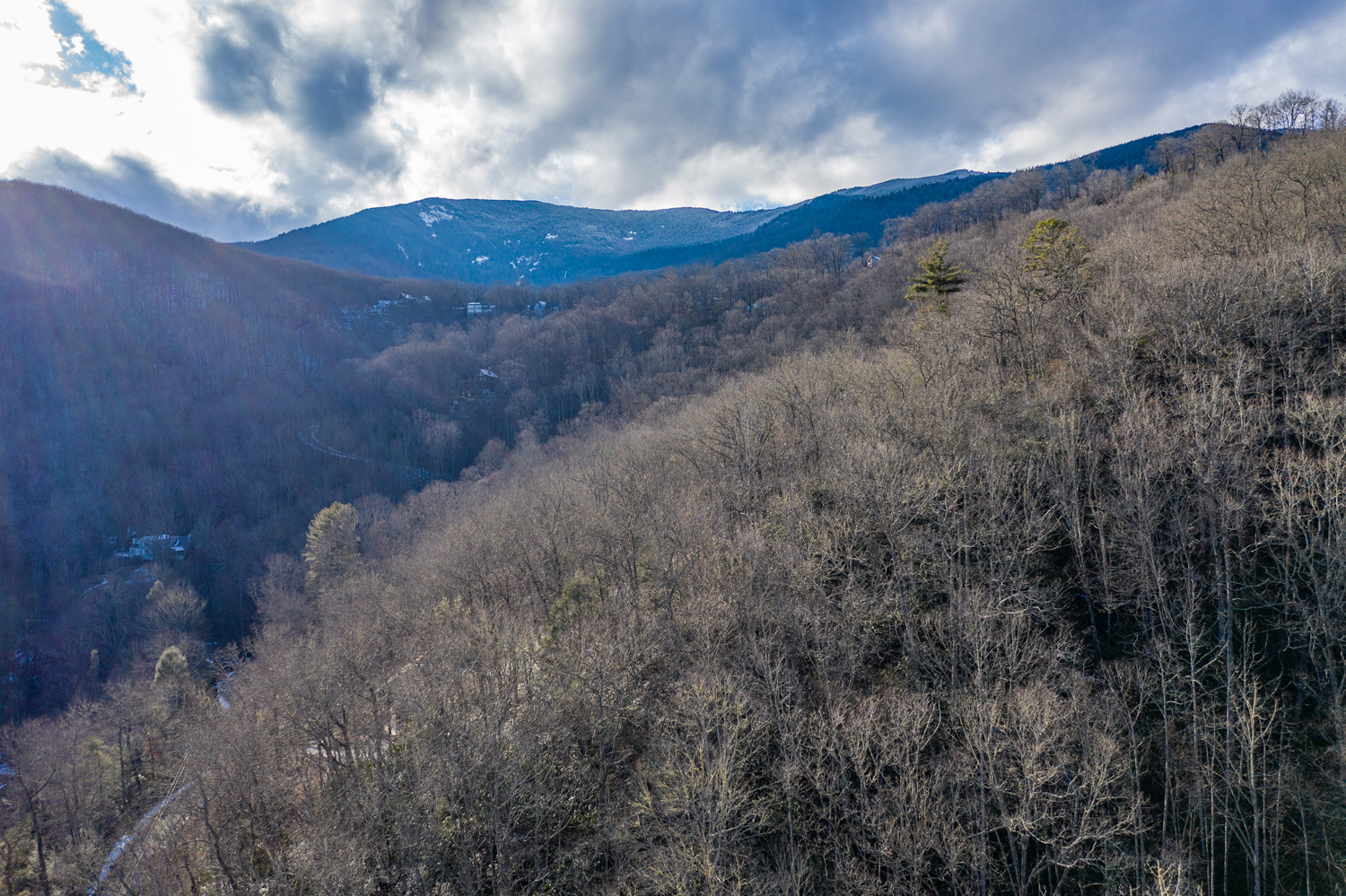
If golf is your game then the Mount Mitchell Golf Club is a stones throw away and was rated 4.5 stars by “Golf Digest Magazine. Fishing and swimming and the Blue Ridge parkway is not far away. Mount Mitchell is the tallest peak this side of the Mississippi River and now is the perfect time to have a year-round living or seasonal escape in this Mountain Paradise!
HOA: $250/annually Tax Value: $32,300Property Taxes: $214.80 (paid and current)Discounted List Price: $17,500
Listed 46% below tax value and the best priced lot in The Riverwood subdivision. Deals like this do not last. Call now to book a time to view this property in person.
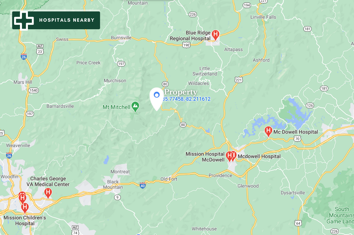
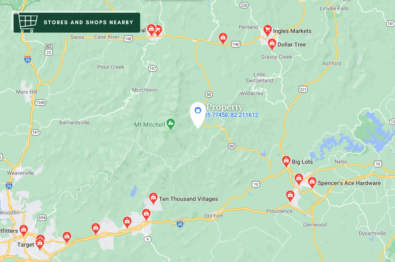
NEARBY ATTRACTIONS/CITY
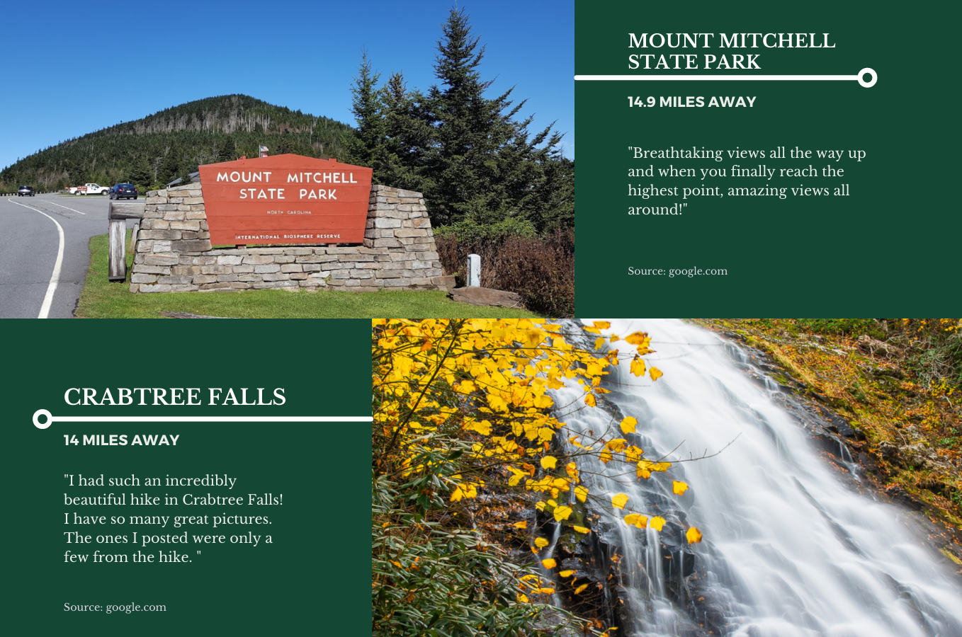
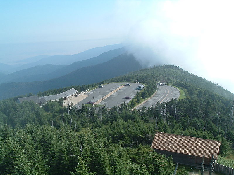
MOUNT MITCHELL STATE PARK
Mount Mitchell State Park is a 4,789-acre (19.38 km2)[1] North Carolina state park in Yancey County, North Carolina in the United States. Established in 1915 by the state legislature, it became the first state park of North Carolina. By doing so, it also established the North Carolina State Parks System within the same bill.elevation change along the drive reaching the park from Marion, NC along NC-80, the Blue Ridge Parkway and NC-128
Located at the end of NC 128 off the Blue Ridge Parkway near Burnsville, North Carolina, it includes the peak of Mount Mitchell, the highest peak east of the Mississippi River. From the parking lot, a steep paved path leads visitors to the summit and a raised observation platform with 360 degree views. The grave of Elisha Mitchell, the professor who first noted the mountain’s height, is located at the base of the observation platform. The old observation tower was torn down in early October 2006. The trail leading to the summit has been paved, and a new observation platform was constructed and opened to the public in January 2009.A view from the observation tower
An exhibit hall is open seasonally at the summit with information about the mountain’s natural, cultural and historical heritage. The park operates a restaurant and a small tent camping sites seasonally.[2] The buildings were built in the 1950s and renovation is planned. Most visitors come between May and November because the only access is the Blue Ridge Parkway but Kevin Bischof, who became superintendent late in 2018, hopes to change that. The park is staffed year-round but most people would not be able to reach the park during the worst weather conditions.[3]
The park had 398,000 visitors in 2017.[3]
In addition to Mount Mitchell itself, the park encompasses several other peaks which top out at over 6000′ in elevation, including Mount Hallback, Mount Craig (just 52 feet (16 m) shy of Mount Mitchell in elevation and the second highest peak east of the Mississippi River), Big Tom and Balsam Cone. Trails lead to all these summits save Mount Hallback, and their exploration takes visitors away from the crowds on Mount Mitchell but to places similarly spectacular. About 8 miles (13 km) of trails exist within the park in all.
Another popular destination reachable by trail within the park is Camp Alice, at an elevation of 5800′ south of the summit of Mount Mitchell. This historic site is the location of a logging and, later, Civilian Conservation Corps tourist camp at the terminus of the old Mount Mitchell toll road. Lower Creek flows across the main trail at this point and it is one of the highest elevation perennial streams in the Appalachians, flowing through the Spruce-Fir forest. Openings here in the forest surrounded by evergreens resemble such openings near treeline in higher mountain ranges.
The park also serves as the finish line for The Assault on Mount Mitchell and the midpoint for the Mount Mitchell Challenge ultramarathon.
Virtual Tour
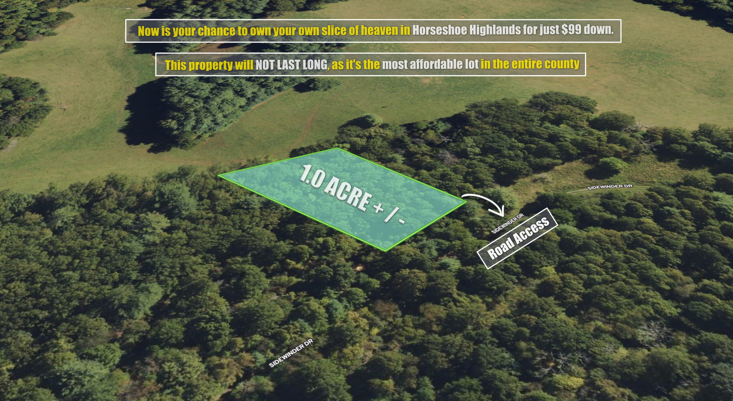
1 Acre Near Burnsville, NC For Just $99 Down
Gorgeous 2.62 Acres nestled at the foothills of Mt. Mitchell — Owner Financing Available With Just $5,000 Down
Gorgeous 1.39 Acre Dream lot if you love the outdoors.